Daily Mileage
20.24
Elevation
4452 feet up
3707 feet down
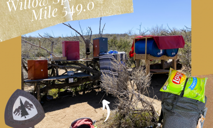
Campsite
Mile 597.3
Total Miles Hiked
208.3
Hours Spent Hiking
7 hours 34 minutes
The Best Part?
🌲Walking through a pine forest
What Did I Learn?
👉Ibuprofen really makes pain go away
Date Hiked
May 3, 2023
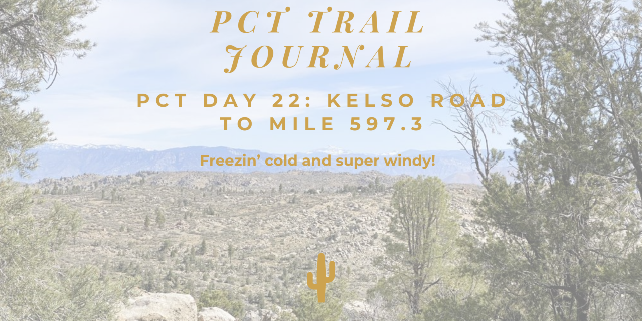
PCT Trail Journal: Day 22 Kelso Road to Mile 597.3
Today was all about walking in forests in the cold. On the 20 miles from Kelso Road to mile 597, I was freezing. I am not good in the cold!
I didn’t sleep the best. I was tossing and turning. My nose was clogged. I got up to pee 2 times. There was a scratching sound that I thought was the wind making my tent rub on itself. When I packed up the tent there was an animal hole under where I was sleeping. So maybe a little mouse was digging around under my tent?
It was a 1700 ft climb over 5 miles. It went from Joshua Tree landscape to pine forest. The pine forest was nice: it smelled good, the trail was flat, and there was abundant water so my pack was light.
I took a long lunch break by the stream. The sun was out and it was warm. It was a good break!
It was another 5 miles to the water source. The forest changed from pine to live oak. There were quite a few water crossings. This stretch had a lot water. Unlike everything else around here.
At the water source, I loaded up on water. I would be dry camping and the next water source is far. Adding 5 liters made my bag so heavy. The next water source on trail is 20 miles! There is another option but it’s 0.9 off trail and who wants to walk an extra 1.8 miles/40 minutes?
I should have around 3 liters to get me to the next water source (14 miles). Then I’ll need to load up to dry camp again.
It’s supposed to rain/snow tonight and tomorrow. So I’ve been obsessively checking the weather forecast on the Garmin. I think I keep wanting it to get better magically, ha!
On FarOut (the app with all the PCT info), the comments said there is an ok site at 598.4. Nope, that was malarky. I kept walking looking for a decent site and ended up doing a 20 mile day.
I found a random site just off the trail that is semi-flat. There were no dead trees threatening to fall on it so I took it. There is some kind of orange fungus infecting all the trees. Some areas have huge amounts of trees down. I don’t know if it’s from the fungus or something else. It was annoying to step over them all the time.
The wind is loud above me but there are only mild gusts where I was at. It’s supposed to rain/snow at 3 am. If it sticks around for a while I’m just staying in my tent. No point in getting wet. Especially when it’s so cold.
Read my PCT Trail Journal Day 21: Bird Spring Pass to Kelso Road here.
Read my PCT Trail Journal Day 20: Walker Pass to Bird Spring Pass here.
Trail Self-Reflection

✨3 Things I’m Grateful For
1. Mountains and forests
2. My knee not feeling super bad
3. Putting on fresh underwear

✨3 Things I’m Excited About
1. Sleeping in a real bed in Tehachapi
2. The cold weather ending
3. Feeling warm again

🌟How Was Today? Did I enjoy it?
Today was ok. It was really cold and I don’t like being cold. I want to take breaks and not be forced to start hiking again to stay warm. I wasn’t in love with today.

⛺How Was My Gear?
My backpack was way more comfortable with the frame fix that my fellow hiker, Dan, did. It instantly felt better when I put it on today.

💪How did my Body Feel?
Dan had a similar issue with his knee. He showed me 3 stretches to do every 2 hours and loaned me his brace. He also said to take 800 mg of ibuprofen every 6 hours. I took 600 mg 2 times today. I needed to ration. My knee was tweaking in the beginning but then it felt pretty ok all day. Especially after taking ibuprofen. My right neck/shoulder was a little mad. Just the normal amount.
🍴How was my food situation?
I’m low on snacks but it worked. I felt ok on the amount of food that I had. I probably would have eaten more if I had it. I dreamed about having my hip belt pockets loaded up with candy.
🤔What did I learn and how will I action it?
Today wasn’t the best. I think it’s because it was so cold. I like being in warm weather. I should only hike when it’s warm 😁.
Map for Hiking the PCT
Maps are fun. Plus you should always have a paper map.
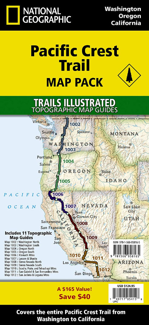
PCT National Geographic Maps
Map pack for the PCT (affiliate link)!