2.7 Miles

300 feet

Easy Peasy

A+++ Views

Sidewinder Trail Hike Overview

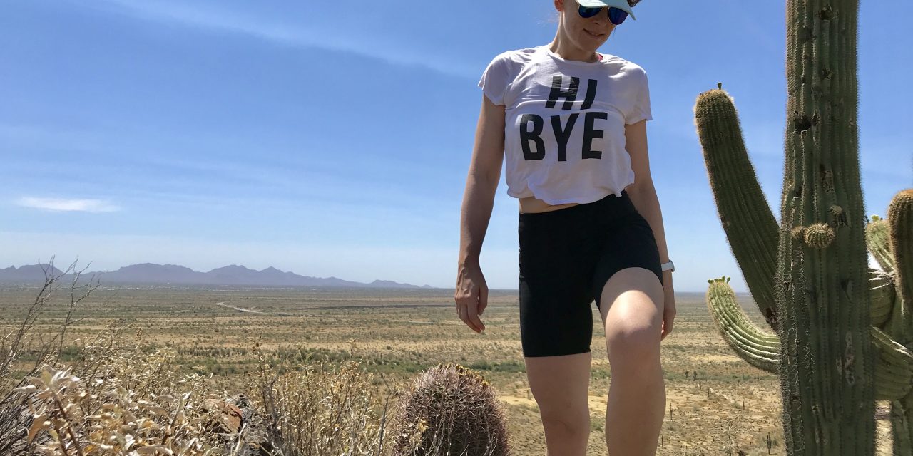
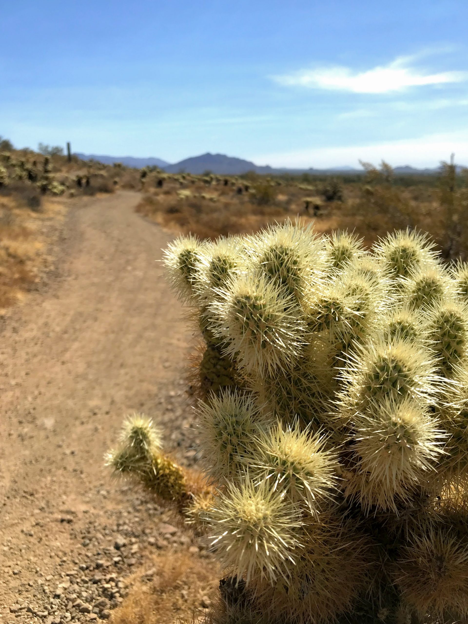
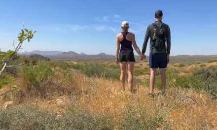
The best thing about the Sidewinder Trail Hike is the views. Be prepared to see mountains in every direction. It’s an easy trail with minimal elevation and the ability to make it longer or shorter. For this trip, I hiked a portion of the Sidewinder trail, added on the Apache Vista, and made it into a loop with the Apache Wash and Ocotillo trails.

Map & Elevation Profile

Total distance: 2.74 mi
Max elevation: 2005 ft
Min elevation: 1705 ft
Total time: 00:59:44

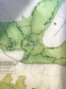
Map for the Sidewinder Trail Hike

There is a map at the trailhead that you can take a photo of and you can find a pdf here.

Parking

Put in “Apache Wash trailhead” into the Google maps machine. There is a huge parking area that is free!

Sidewinder Trail Hike Trail Notes

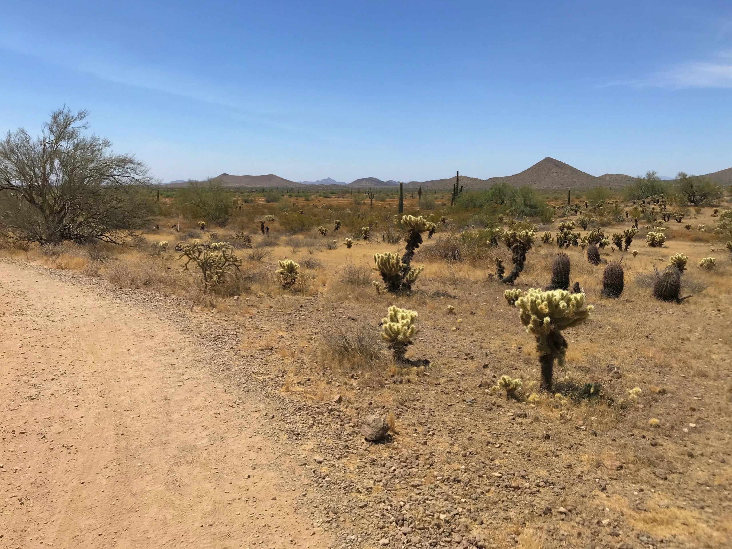
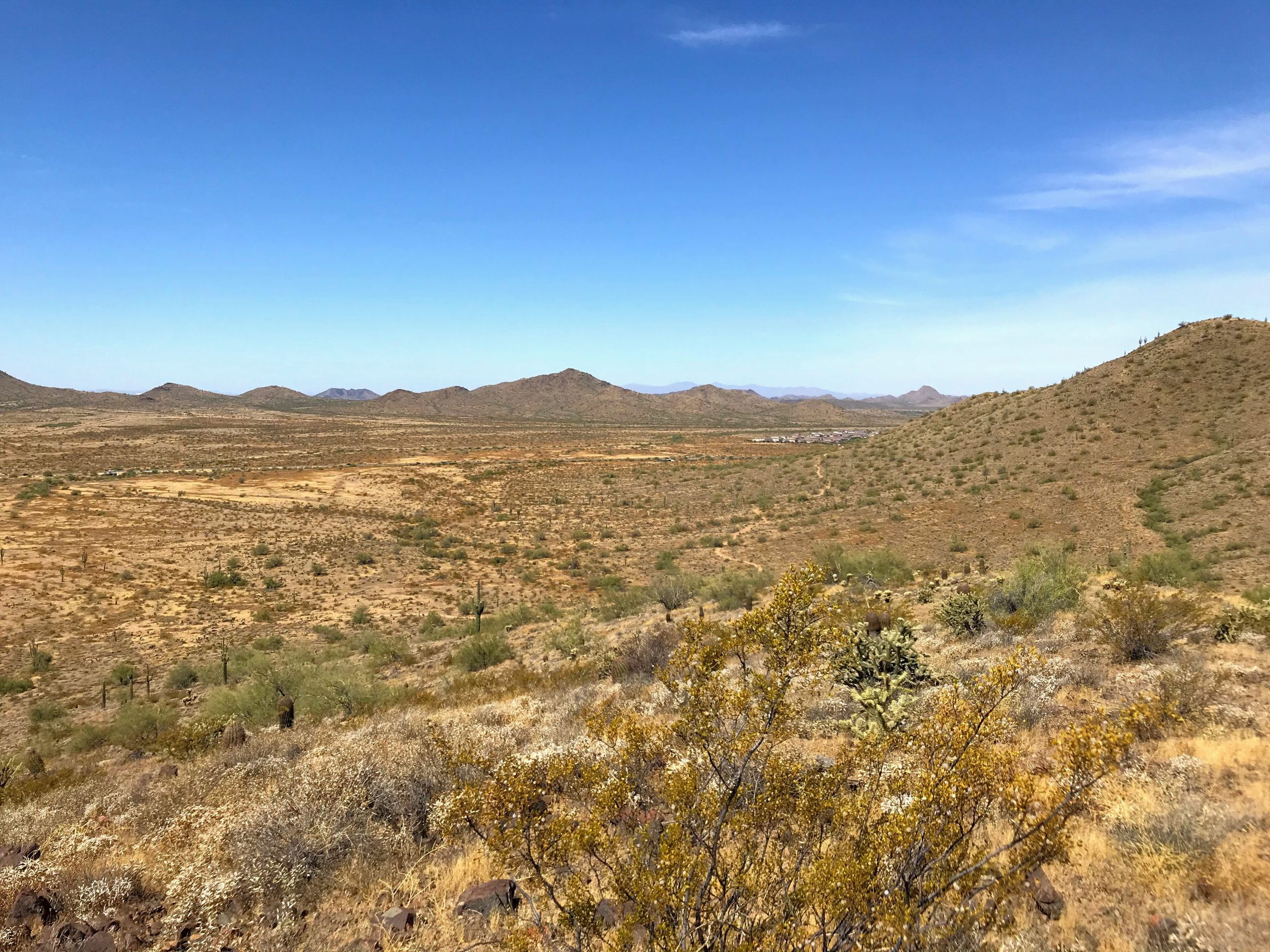
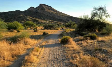
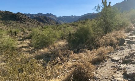
The views start right from the parking lot and get better as you head up the trail. For instance, you will see the McDowells in all their glory are to the west. All the mountains in Phoenix proper are to the south. The mountains in the Tonto National Forest are to the north and all kinds of mountains to the east. As you walk the loop you are treated to excellent mountain views all around.

This trail can be combined with many other trails to make it as long or as short as you wish. Give the map a quick look and you will find many ways to turn this hike into big or short loops. You can also pop up the Apache View trail (adds on another mile or so) and experience great views of Camelback, Piestewa, Lookout, and more.

From the East side of the loop, you can see the Ridgeback Trail and it looks like a fun trail. That is on my “to hike soon” list :).

Read a detailed trail description of the entire Sidewinder Trail here at HikeAZ.

So, is the Sidewinder Trail hike worth it?

Most definitely. The views are better from here than from the McDowells (in my opinion!).

Other hikes close by

If you are looking for something with some elevation check out the Ridgeline Trail Hike. There are other trails in the South portion of the Phoenix Sonoran Preserve from the Desert Vista Trailhead also worth checking out! If you want to hike around the McDowells, check out the Gateway Loop hike or the hike up to Bell Pass.

Get more inspired to get outside:

PCT Trail Journal: Day 14 Mile 146.1 to Paradise Valley Cafe (Mile 151.8)

6.21909 up873 downIdyllwild Airbnb151.82 Hours 4 MinutesIdyllwild and town food!I start out with big hunger and then can't eat everythingPCT Trail Journal: Day 14 Mile 146.1 to Paradise Valley Cafe (Mile 151.8) On day 14 of the PCT (mile 146.1 to Paradise Valley...

PCT Trail Journal: Day 13 Miles 131.6 to 146.1

15.612405 up2336 downMile 146.1146.16 Hours 11 MinutesThe wildflowers 🌼🌼🌼Need larger battery pack ASAP!PCT Trail Journal: Day 13 Miles 131.6 to 146.1 Miles 131.6 to 146.1 on the PCT were good and hot filled with more wildflowers than you could imagine. There was a lot...

PCT Trail Journal: Day 12 Miles 115.4 to 131.6

16.033291 up1906 downMile 131.6131.65 Hours 50 MinutesListening to my book while hikingI am quite dirty. So dirty that bandaids and tape won't stick to my skin. PCT Trail Journal: Day 12 Miles 115.4 to 131.6 Miles 115.4 to 131.6 were both hard and gave me a sense of...

PCT Trail Journal: Day 11 Miles 104.8 to 115.4

13.531519 up1513 downMile 115.4115.44 Hours 56 MinutesWalking through field after field of wildflowers I don't need 10 bars per day and should focus on the base meals in resupply boxesPCT Trail Journal: Day 11 Miles 104.8 to 115.4 Miles 104.8 to 115.4 on the PCT were...

PCT Trail Journal: Day 10 3rd Gate Water Cache to Mile 104.8 (Miles 91.2 to 104.8)

13.631558 up1611 downMile 104.8104.84 Hours 27 MinutesThe wildflowers and trail magic!Trail magic is awesome but I already knew that. I need to take more breaks and do shorter days. PCT Trail Journal: Day 10 3rd Gate Water Cache to Mile 104.8  Day 10 from 3rd Gate...

PCT Trail Journal: Day 9 Scissors Crossing to 3rd Gate Water Cache (Mile 77.1 to 91.2)

14.012211 up1043 down3rd Gate Water Cache91.24 Hours 57 MinutesThe trail and finding new hiking friends!I drink a lot of water. Need to be smart about water sources especially in these drier sections.PCT Trail Journal: Day 9 Scissors Crossing to 3rd Gate Water Cache ...

PCT Trail Journal: Day 7 & 8 Double Rest Day at Stagecoach

00 up0 downSheep Shed @ Stagecoach RV Resort76.30Day 7: Having a chill day at Stagecoach and getting new shoes! Day 8: Hanging in Julian with Hannah, Jorrit and Liam 💗Day 7: Use padded moleskin around a blister to relieve some of the pressure on the blister Day 8:...

PCT Trail Journal: Day 6 mile 68.4 to Stagecoach RV Resort (mile 68.4 to 76.3)

7.85738 up 2231 downStagecoach RV Resort76.33 hours 7 minutesThe best part was that it was a good day  Taking it easy is good for me.PCT Trail Journal: Mile 68.4 to Stagecoach RV Resort (mile 68.4 to 76.3) Town day means wake early and hike day. Your girl was up...

PCT Trail Journal: Day 5 Mile 56.2 to 68.4

12.341247 up 2759 downMile 68.468.45 hours 2 minutes⛰Nice sections of trail with great mountain views 🌼Lots of wildflowers as I got lower    Feet must be fixedPCT Trail Journal: Mile 56.2 t0 68.4 Overview Wow super rough day. My feet are in terrible shape....

PCT Trail Journal: Day 4 Mt Laguna to Mile 56.2 (Miles 48.7 to 56.2)

15.001837 up2526 downMile 56.256.25 hours 55 minutesThe section of the trail past the picnic area on the edge of a mountain with great desert views  ✨Need to take better care of my feet✨Need to take breaksPCT Trail Journal: Mt Laguna to Mile 56.2 (Miles 48.7 to...