3.5 Miles
367 feet
Easy
A+ Views
Levee Trail Hike Overview
The Levee Trail Hike is another flat, short, scenic hike from the Gateway Trailhead. If you are itching to get outside but not kill yourself with elevation or in the heat, this is a hike you should consider.
Map & Elevation Profile
Max elevation: 1976 ft
Min elevation: 1609 ft
Total time: 01:04:20
Map for the Gateway Loop Hike
Get this map! The Green Trail Maps are super nice maps because they are easy to read, have good color coding, distances and elevations, and are usually up to date.
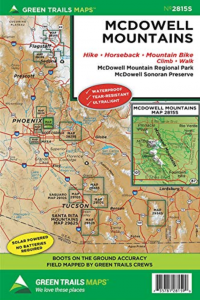
McDowell Mountains Greentrails map
You definitely won’t regret having this map for your McDowell Sonoran Preserve hikes (affiliate link)!
Parking
Plugin ‘gateway trailhead’ and Google maps will take you right there. Parking is free!
Levee Trail Hike Trail notes
My trick to be able to spend time out in nature even though the Phoenix sun is trying to melt you, is to go early in the morning (by 8 am is early for me), hike short distances, and don’t do any hard hikes.
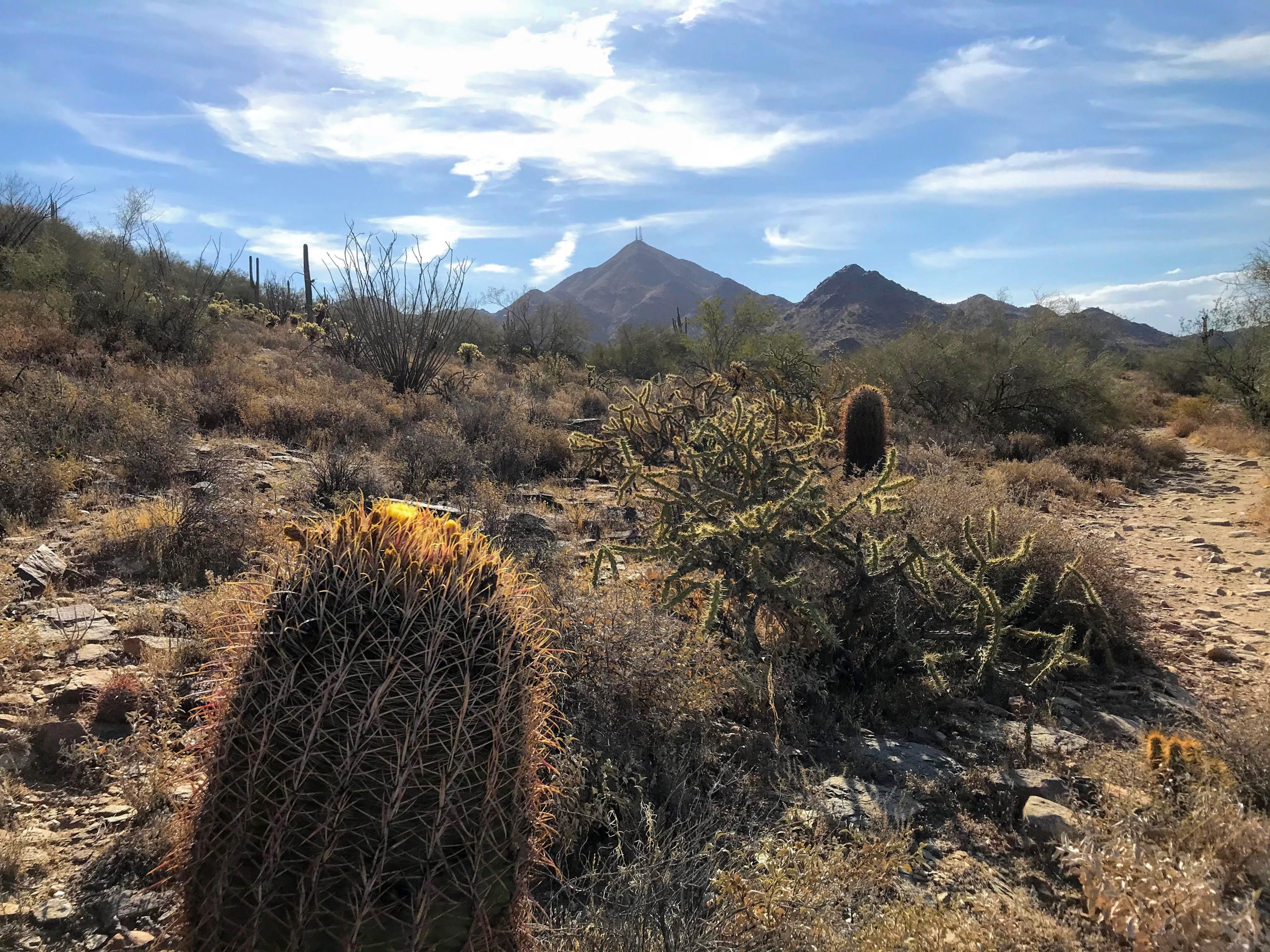
The Levee Trail hike is good when you are bored of the Horseshoe Trail. It’s slightly longer and has beautiful views (when walking it clockwise or counterclockwise). If going clockwise, you will start off on the Saguaro trail, turn right onto the Gateway loop trail and then cross over to the Levee trail 1.4 miles from the trailhead
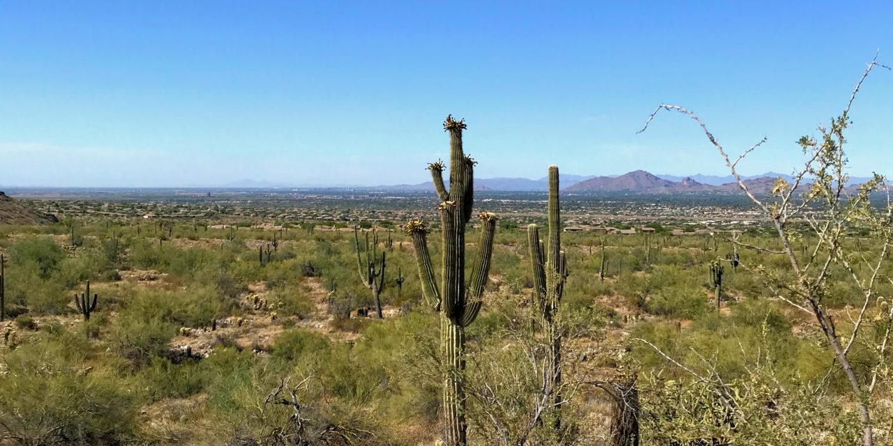
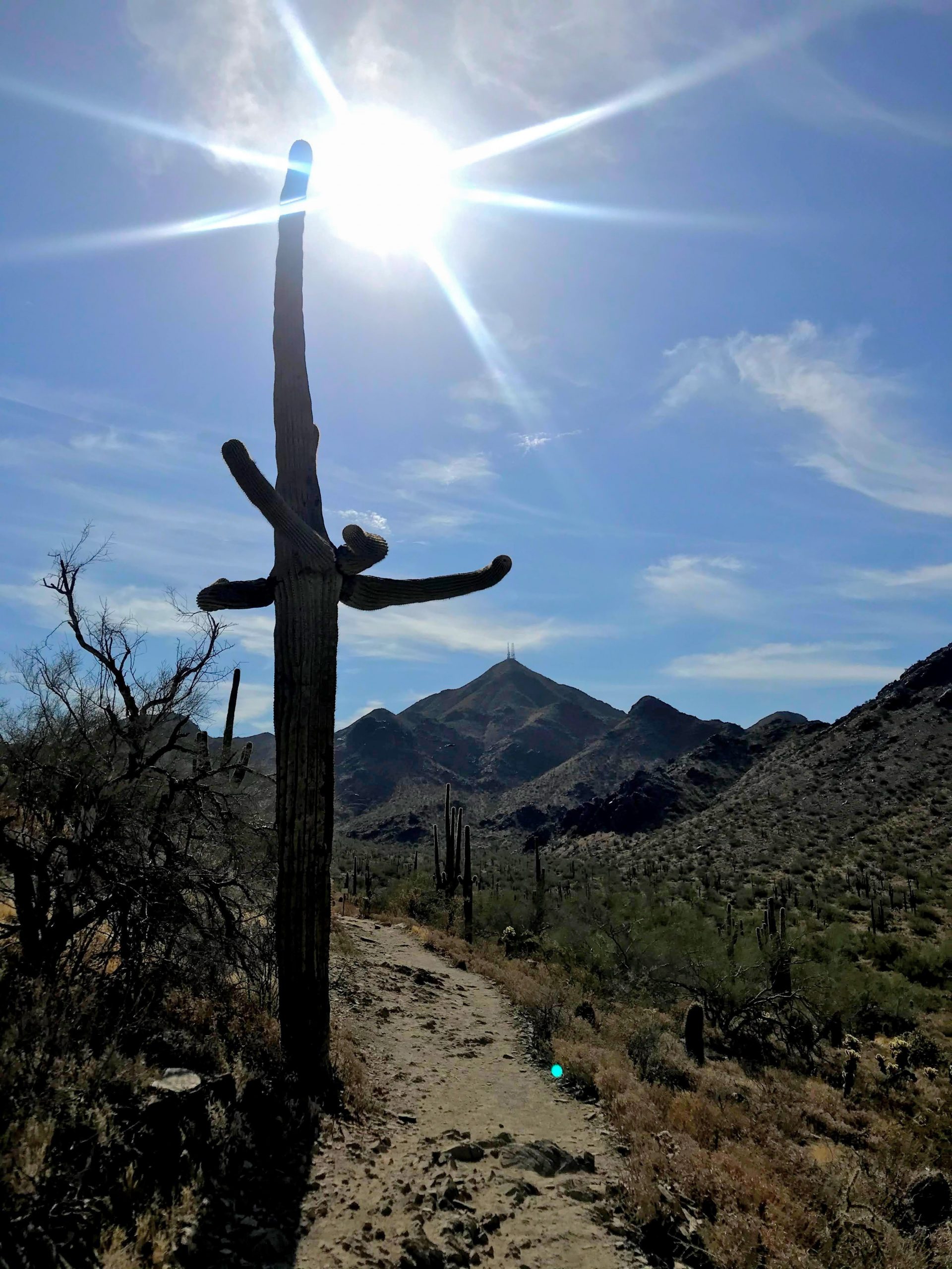
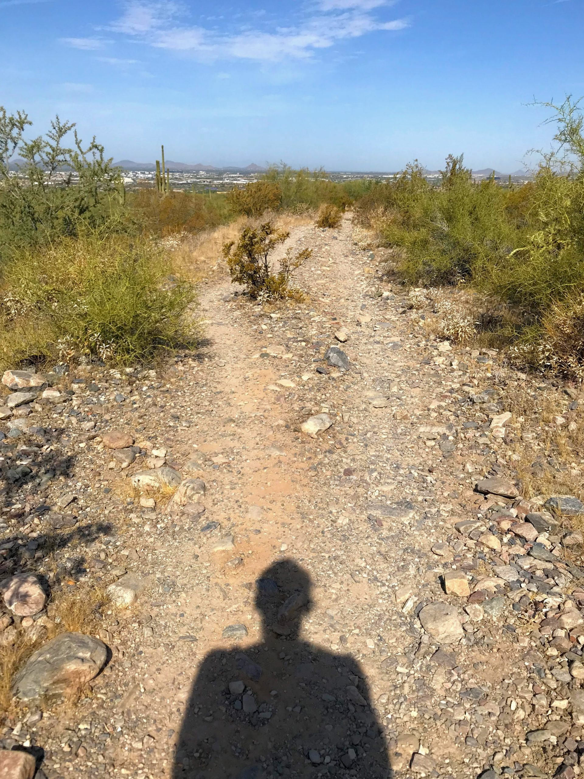
You get to experience the typical rocky/chossy trail on the Gateway loop portion. The Levee Trail bit is on top of an old Levee and is a wide gravel path. Check out the photos below for a pic.
With all this time we spend inside because it’s summer, it’s so nice to get outside! Even if it is just for an hour or so.
So, was is the Levee Trail hike worth it?
Yep, definitely. This area is such a gem!
Other hikes from the Gateway Trailhead
There are so many options to choose from! For something harder with more elevation, check out the Bell Pass Hike. For something not as hard as Bell Pass but harder than the Horseshoe trail, check out the Gateway Loop hike.
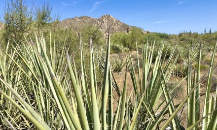
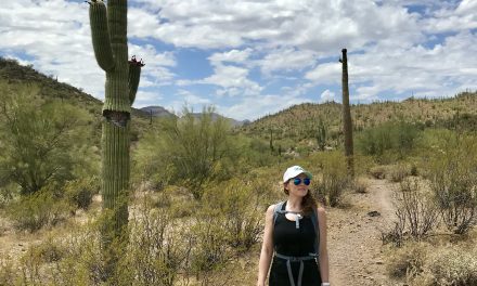
Photos to Motivate you to Check it out:

