5.1 Miles
433 feet
Easy/Moderate
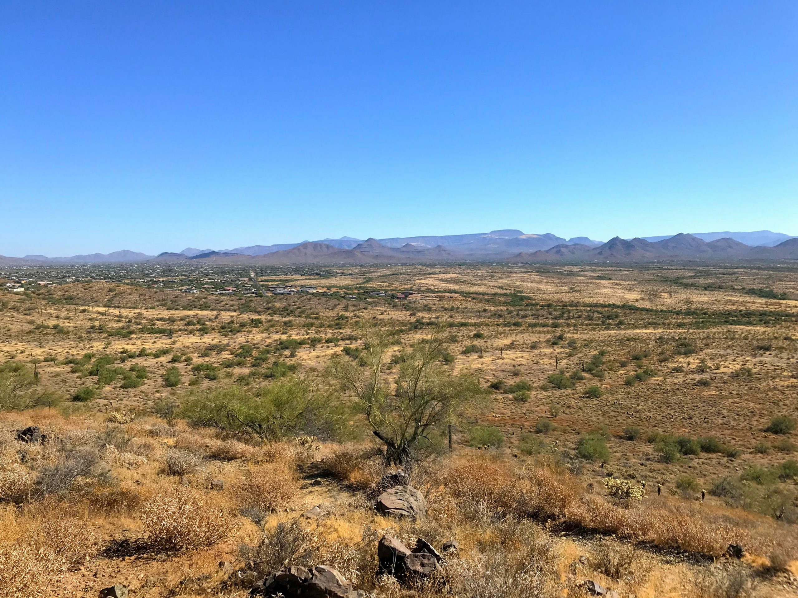
A+++ Views
Ridgeline Trail Hike Overview
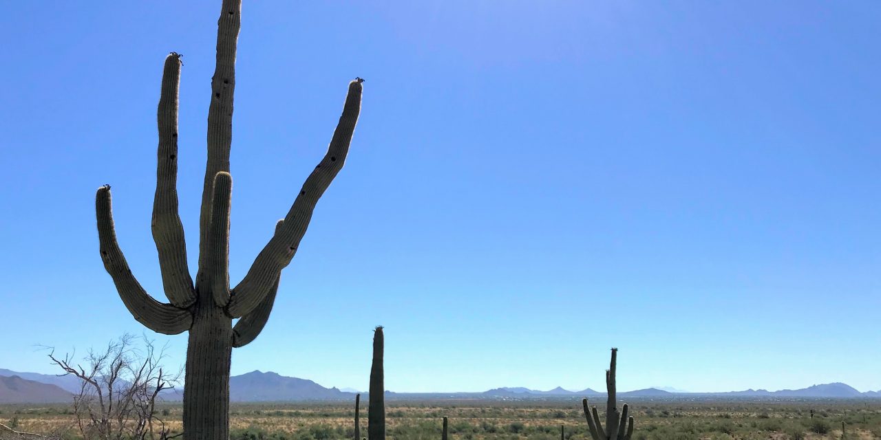
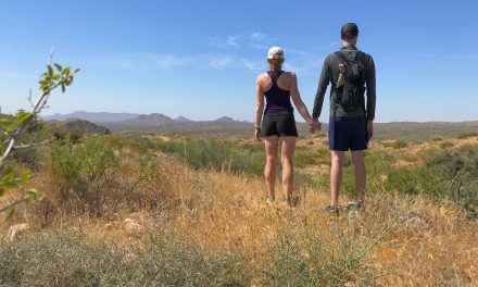
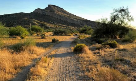
A couple weeks back, I spied the Ridgeline Trail Hike while walking on the Sidewinder Trail and thought I need to hike that! It also starts from the Apachewash parking lot but snakes up the adjacent mountain. If looking for a little more elevation and epic mountain views, this is it!
Map & Elevation Profile
Max elevation: 2108 ft
Min elevation: 1675 ft
Total time: 01:34:28
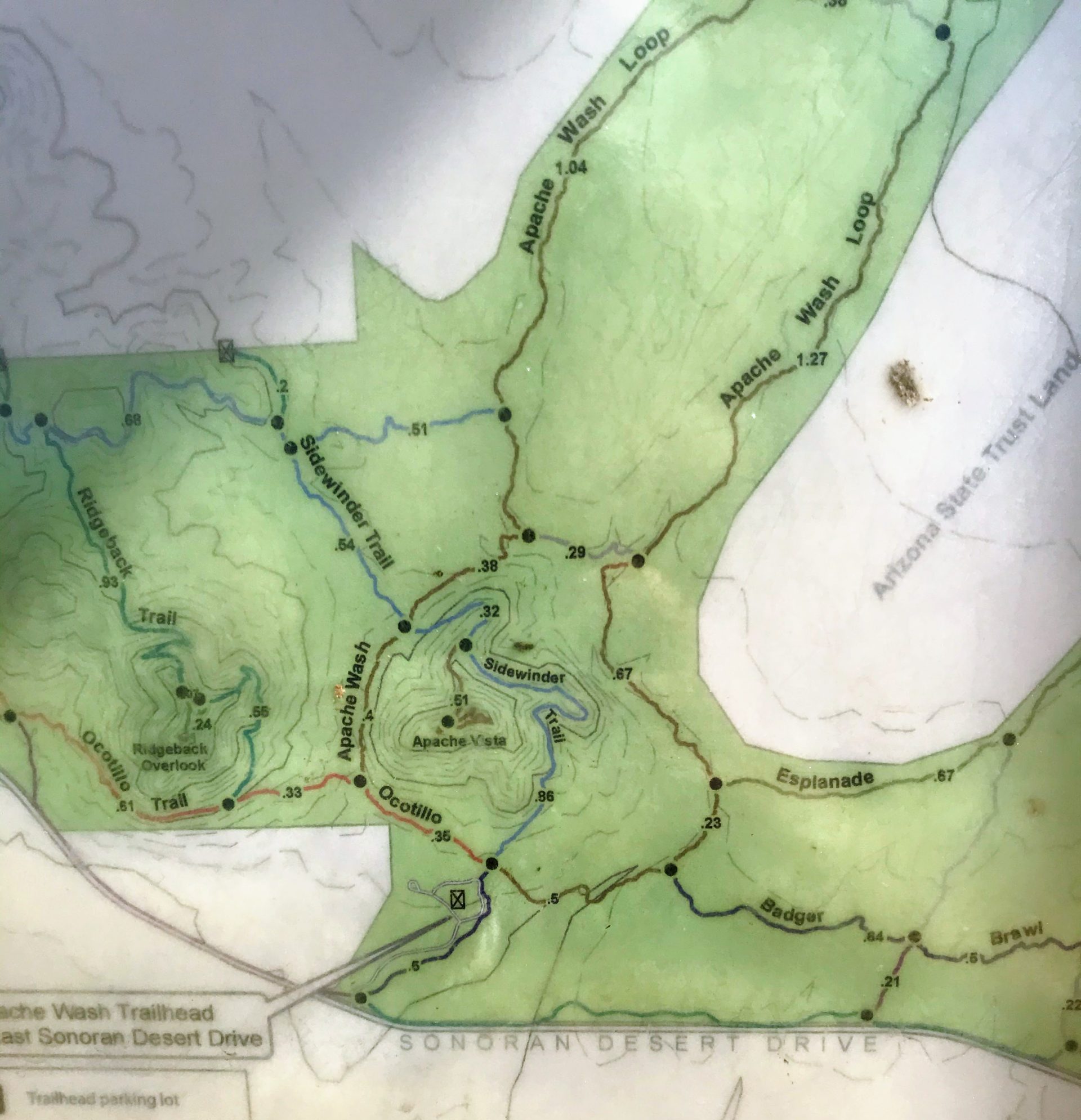
Map for the Sidewinder Trail Hike
There is a map at the trailhead that you can take a photo of and you can find a pdf here.
Parking
Put in “Apache Wash trailhead” into the Google maps machine. There is a huge parking area that is free!
Ridgeline Trail Hike Trail Notes
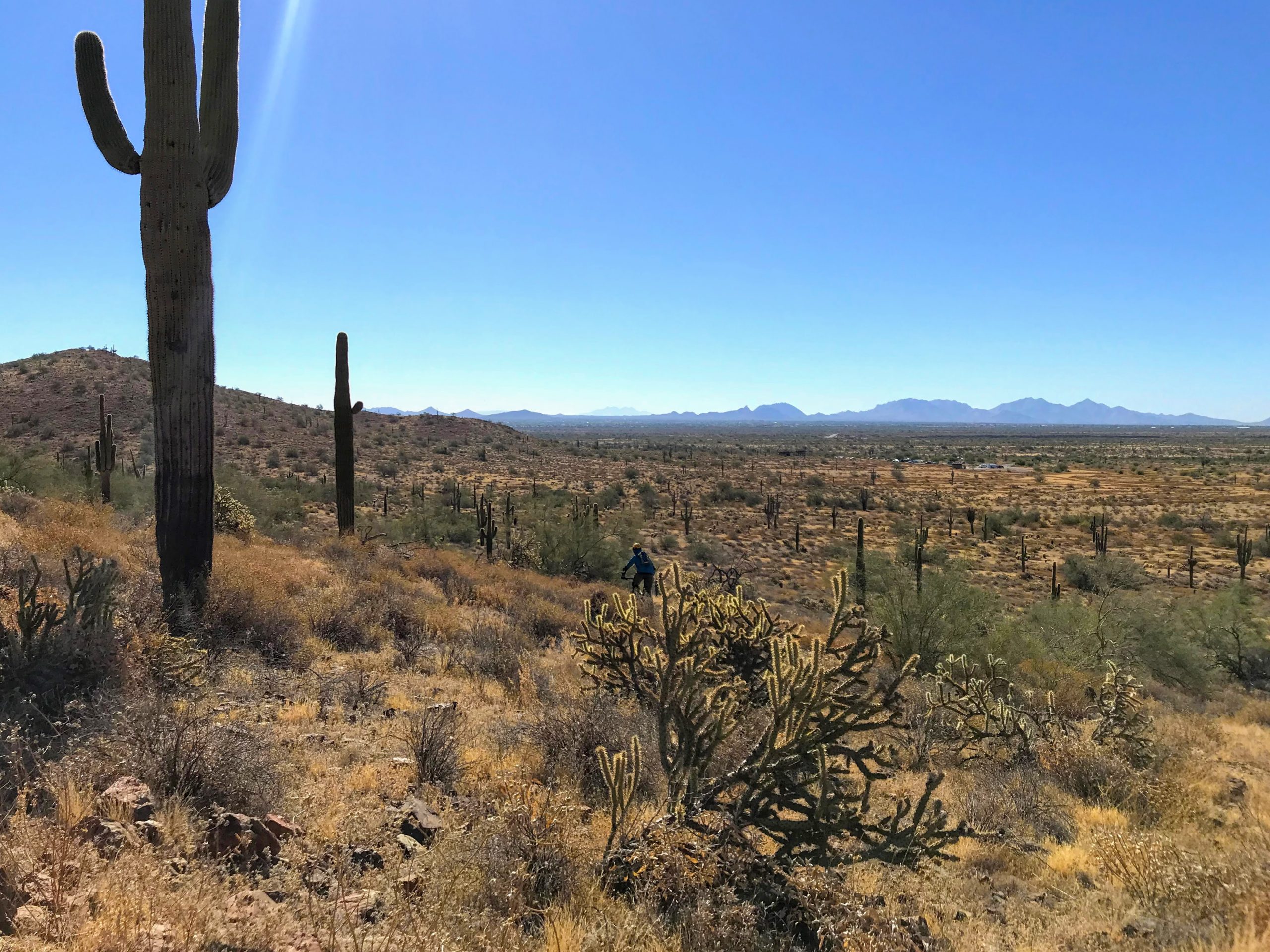
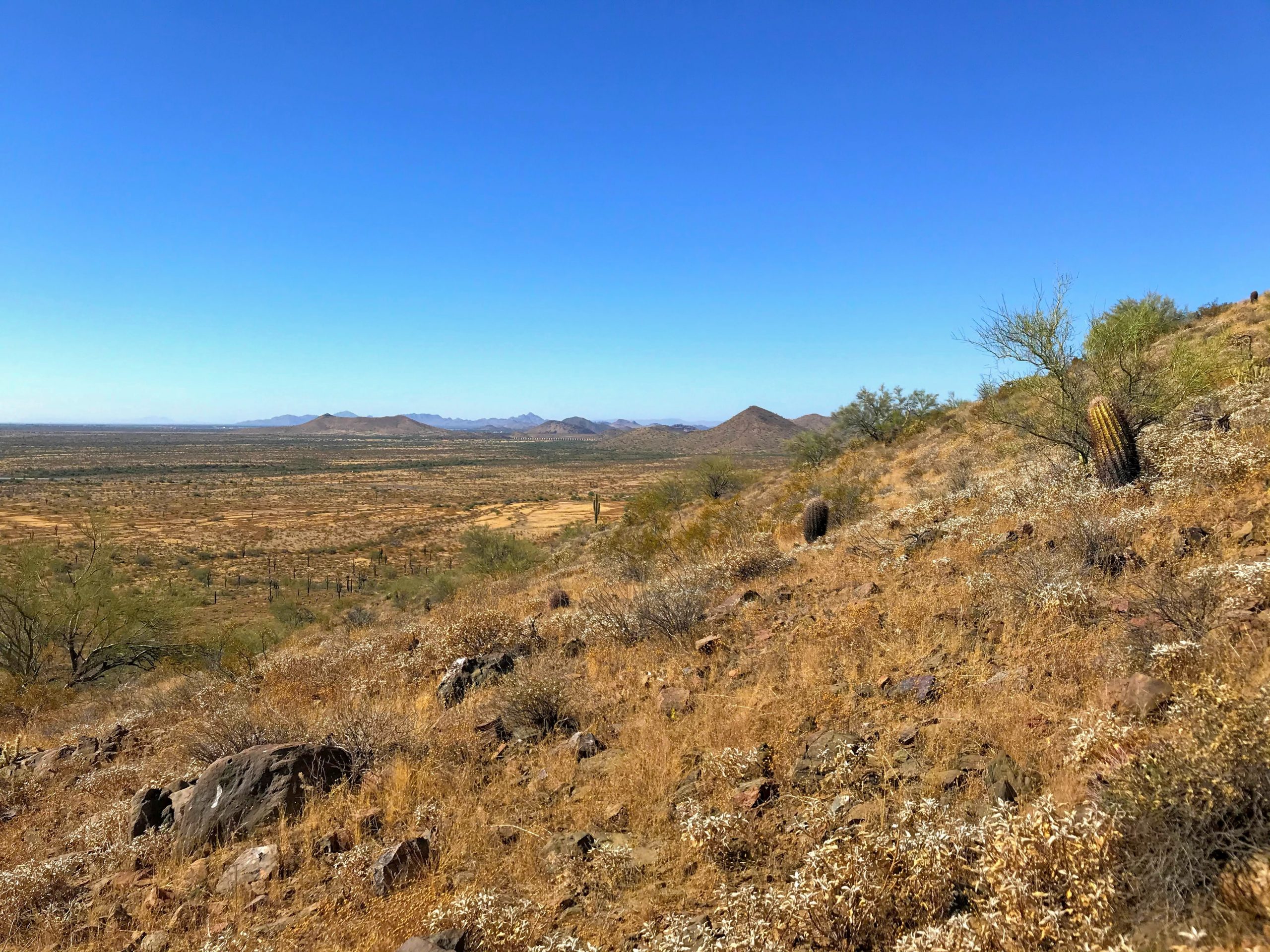
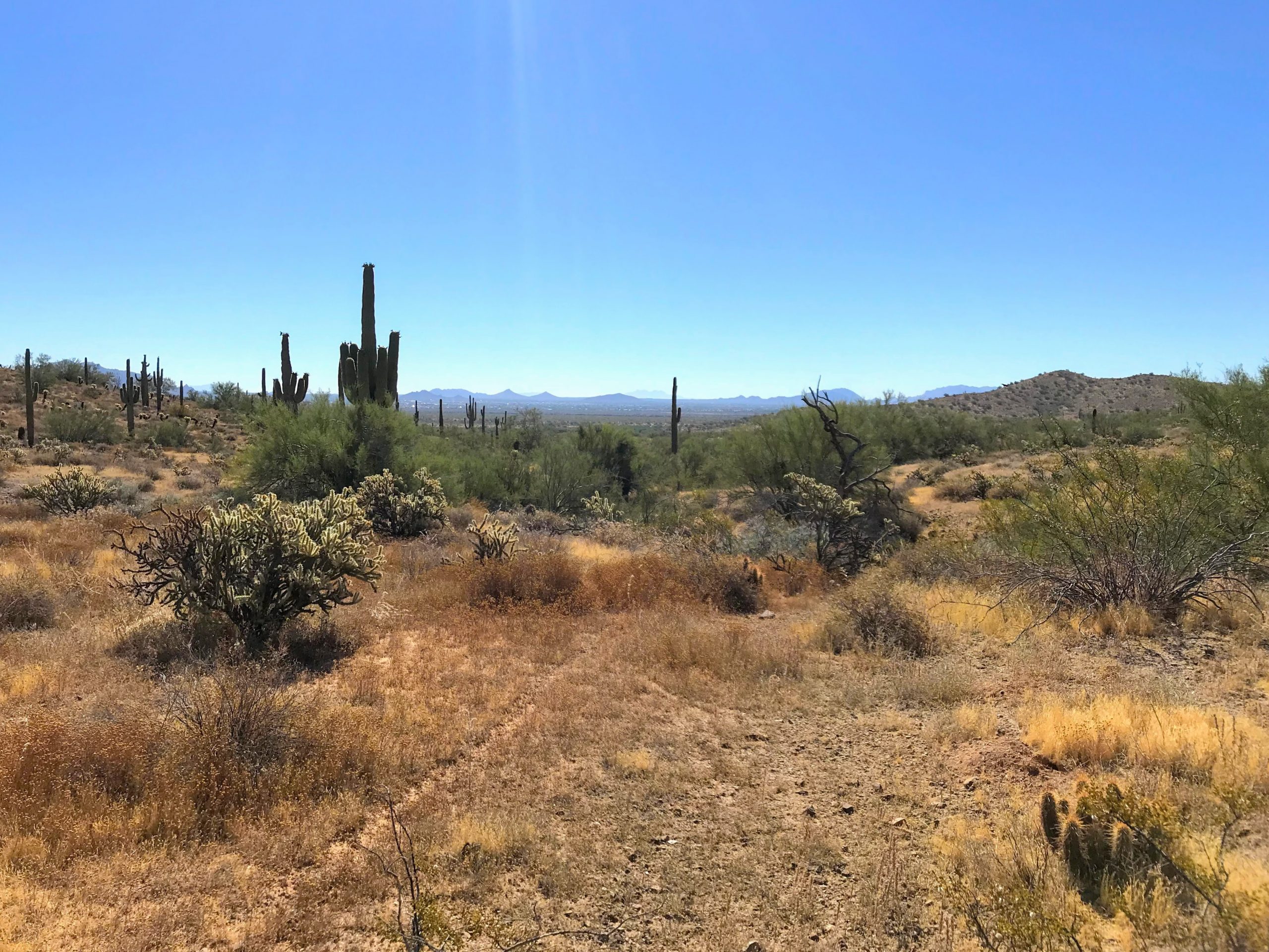
This area is amazing! The Phoenix Sonoran Preserve delivers on the mountain views! Another bonus about the hikes in this area is that they aren’t too tough, making them a great option for those wicked hot days.
I started on the Ocotillo trail, hit the Ridgeline Trail, and went back to the parking lot via the Sidewinder Trail. The Ridgeline Trail is where the elevation starts. As I was climbing this portion, I started to question my life choices. It was hot and this felt hard. When writing this and looking at the map and elevation stats, I was surprised this was only around 400 feet of elevation. It felt like a lot more!
At the top, there is a little side trail to an overlook. I felt tired and hot from the climb and now I regret not doing it! Next time!
The rest of this hike flat and lets you enjoy views of all the great mountains in the area ❤️.
So, is the Ridgeline Trail hike worth it?
Yes, yes, yes! All the mountain views on this hike make me want to spend all my time outdoors. I hope it does the same for you!
Other hikes close by
Check out the map for options to make a hike that’s right for you and don’t forget to check out my description of the Sidewinder Trail Hike.

