57 Miles
3997 feet
Easy/Moderate
A+ Views
Crown King Road/Senator Highway Overview
The Crown King Road/Senator Highway off road drive is beautiful and has varying levels of difficulty. Sections of the road are wide maintained gravel roads, suitable for passenger cars (Crown King Road and Forest Road 67) and other areas are quite rutty and bumpy requiring a high clearance vehicle (Senator Highway).
Map & Elevation Profile
Max elevation: 6638 ft
Min elevation: 2481 ft
Total time: 04:41:46
Maps & Resources for Crown King Road/Senator Highway
Check out these useful maps and resources:
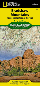
Nat geo #858
Bradshaw Mountains. A great map to have lying around for this drive (affiliate link).
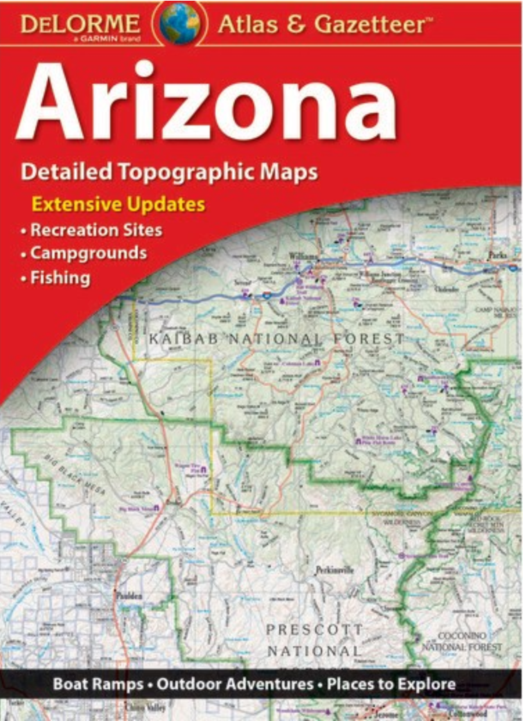
Arizona Road Atlas
You will be out in locations without cell signal and might need to look at a map. Plus can you ever have enough maps (affiliate link)?
What’s our vehicle?
We have a 2015 Jeep Grand Cherokee Limited 4×4 edition. It has 9.3 inches of ground clearance and moderate all-terrain tires (no air suspension or any extra ground clearance).
Crown King Road/Senator Highway Off-Road Rating & Road Condition
We started from the Bumble Bee exit (248) I17, drove to Crown King via Crown King Road, onto a section of the Senator Highway, and then back out on Forest Road 67 towards Mayer. You can think of this drive as having 3 sections:
1. Crown King Road: Easy
This is a wide, well-maintained gravel road. There are a couple of narrow sections with hairpin turns and low visibility as you climb into the mountains. A passenger car should have no trouble getting to Crown King.
2. Senator Highway: Moderate
High clearance vehicles definitely required! Right out the gate from Crown King it gets rocky, sandy, and rutty. As you descend down the Senator Highway it gets narrow and steep. As we were descending, it really started to rain. I was glad we didn’t need to pass anyone. On this steep section the ruts were deep. The section up towards FR 67 has some rocky areas and streambeds to cross but is no problem for a high clearance vehicle.
3. Forest Road 67: Easy
Very well maintained, wide gravel road. Anything can drive on this!
Necessities
First Aid Kit
Store a first aid kit in your car. Add tweezers because this is AZ and there are cacti everywhere. A blanket/sleeping bag is also a good idea if you need to sleep in your car.
Lots of Water
It’s pretty hot around here and you never know if you will get stuck for a while. Keep a large of amount of water in your car. Calculate the amount of water you need and then double it.
Full Spare Tire, Tire pump & repair kit
You could get a flat and will need the tools to fix it. You don’t want to drive out on a doughnut.
Drive Notes
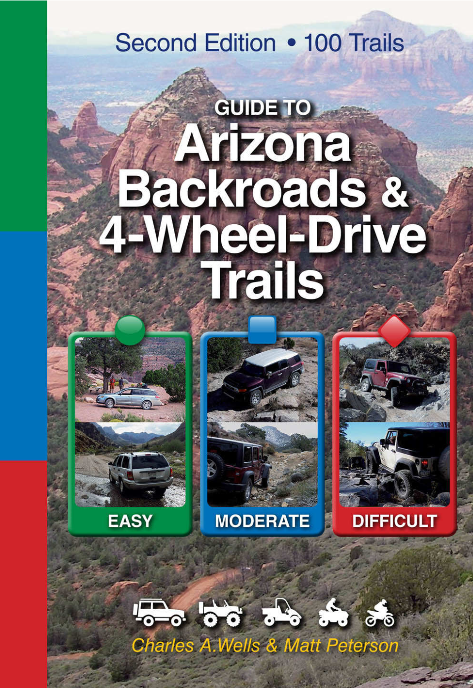
We learned about this drive in the Arizona backroad book.
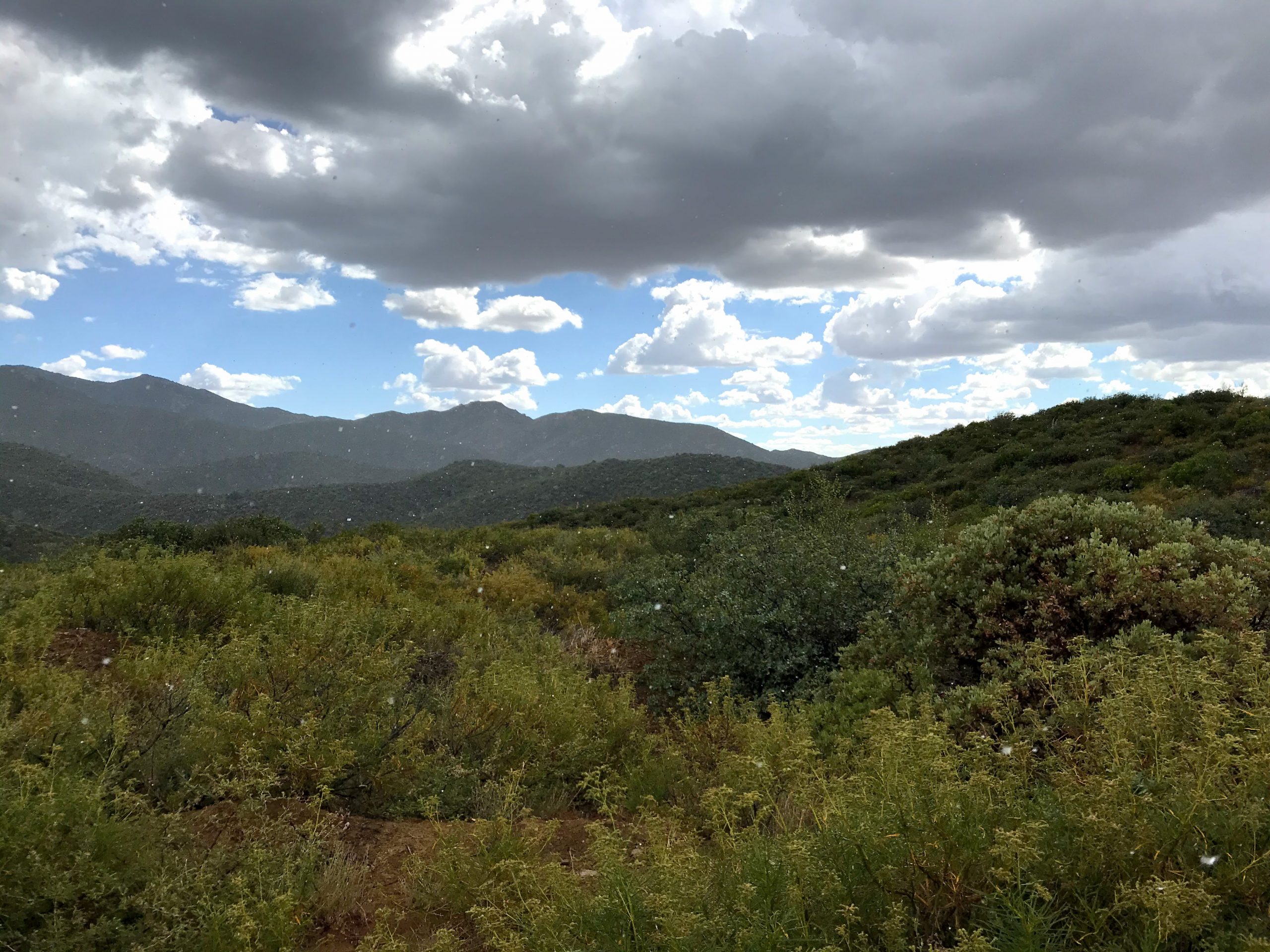
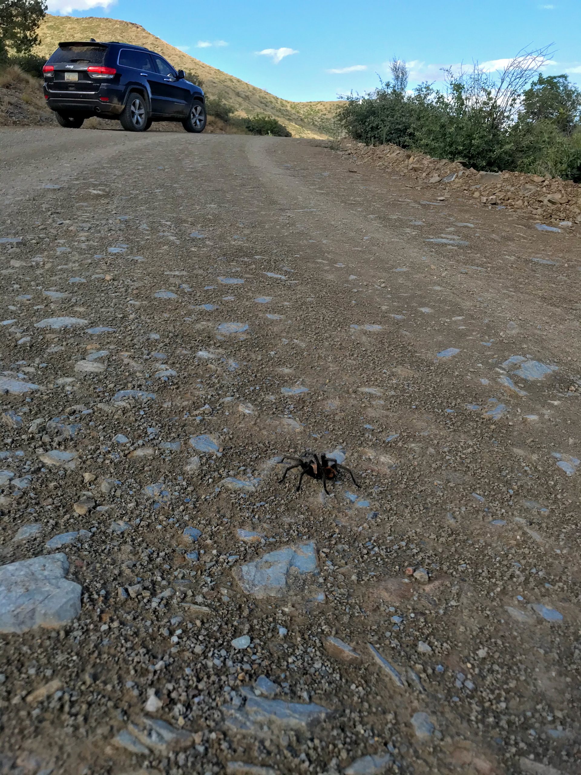
This was the first weekend of monsoon season and as we drove north on I17, there were a lot of rain clouds. After passing Cleator (which is a really cute old Western town), a big rain cloud appeared and this began what would be a lot more rain. It didn’t even cross my mind to bring rain gear. This was a big takeaway for us: when going to the mountains be prepared for all kinds of weather. Living in Phoenix has made us soft. It never rains and we never think about rain gear anymore!
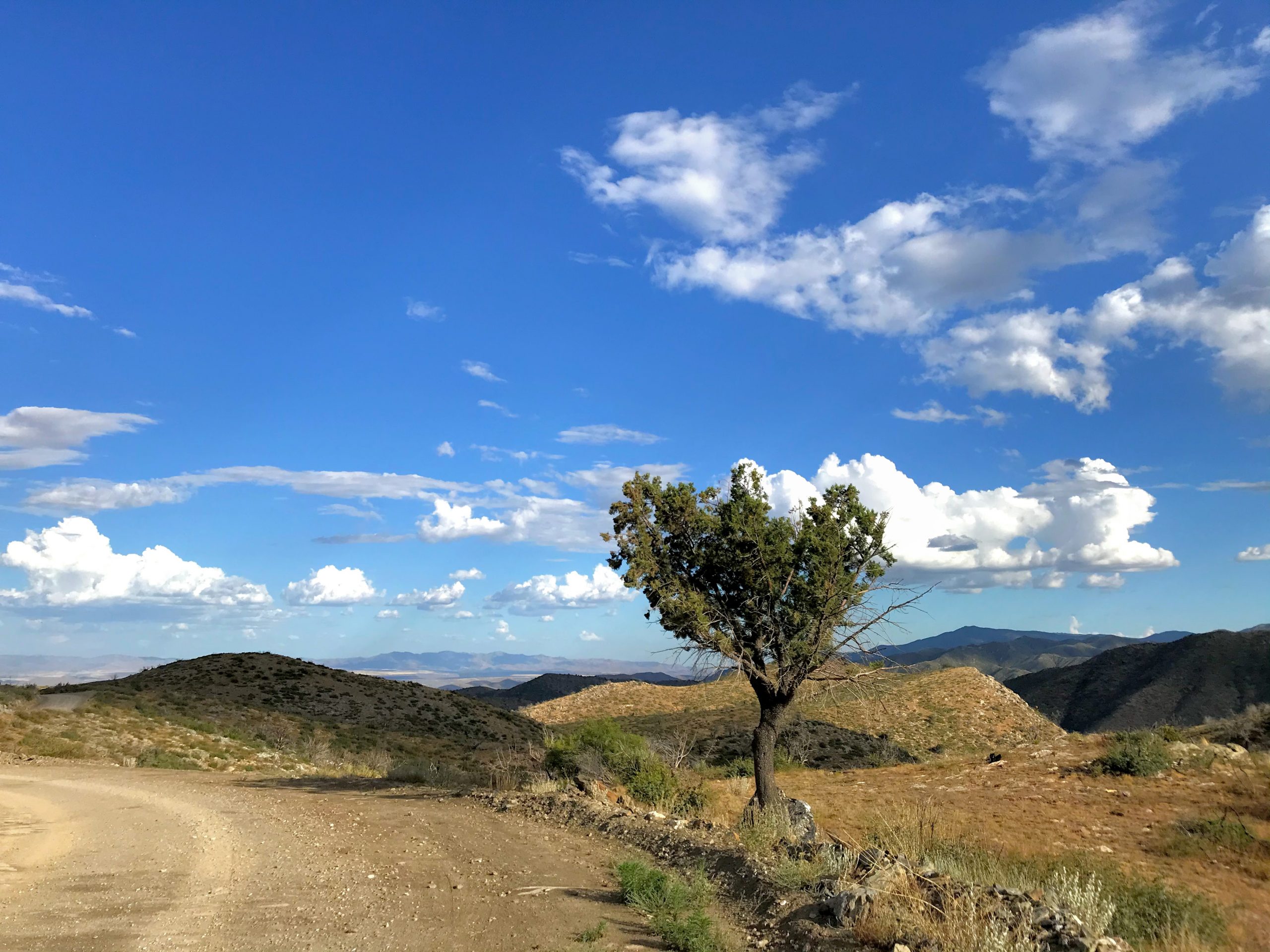
The climb up to Crown King is probably the best section of the drive in terms of views. It’s so scenic!
The town of Crown King is like a Jeep Wrangler commercial. There were fancy Wranglers everywhere! Clearly this is where all the cool Jeep people go to hang out.
Senator Highway Section
As we left Crown King and started on the Senator Highway, the rain really started. I was a tiny bit worried because this section is pretty sandy, rocky, full of deep ruts, and gets steep. It’s also one vehicle wide in many areas but luckily we didn’t need to pass anyone. We took it slow and made it to the bottom without any problems. By the time we made it to the bottom, it was pouring. Large puddles were forming and small streams were running off the road. The temperature also dropped down to 65f!
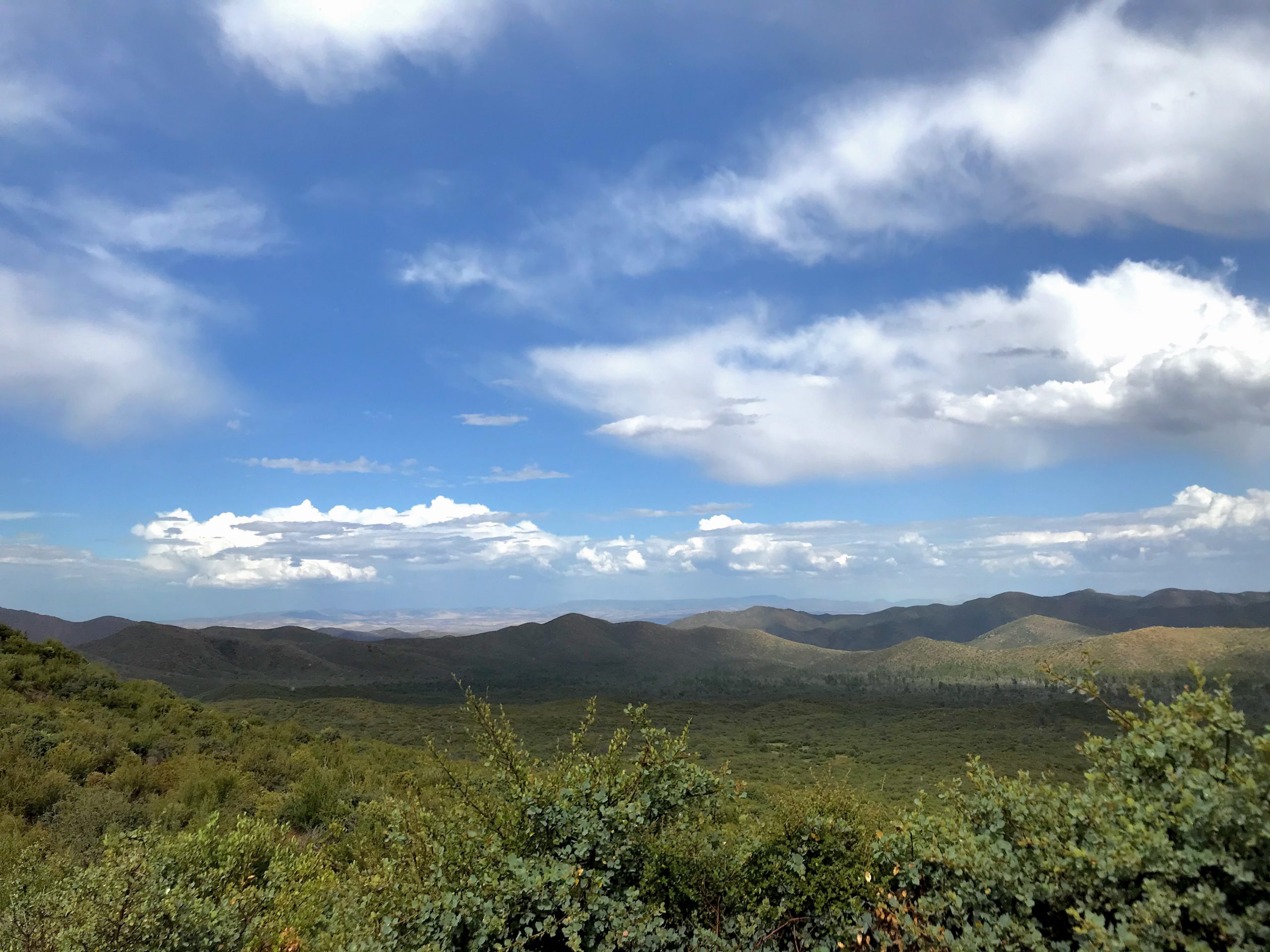
We continued north on the Senator Highway and this section was mostly flat with rocky sections here and there. On the map, you can a portion that looks like switchbacks. This is a zig-zaggy portion along a hill edge. It has minimal elevation, is 1.5 vehicles wide, and has great views of mountains with trees on them.
FR 67 is a wide gravel road to take you right on out to 69 and the I17.
So, was it worth it?
The Crown King Road/Senator Highway is great! There are tons of great views and options for camping and exploring. I can definitely see us going back and doing the entire Senator Highway! It had a very different feel than Bloody Basin Road.
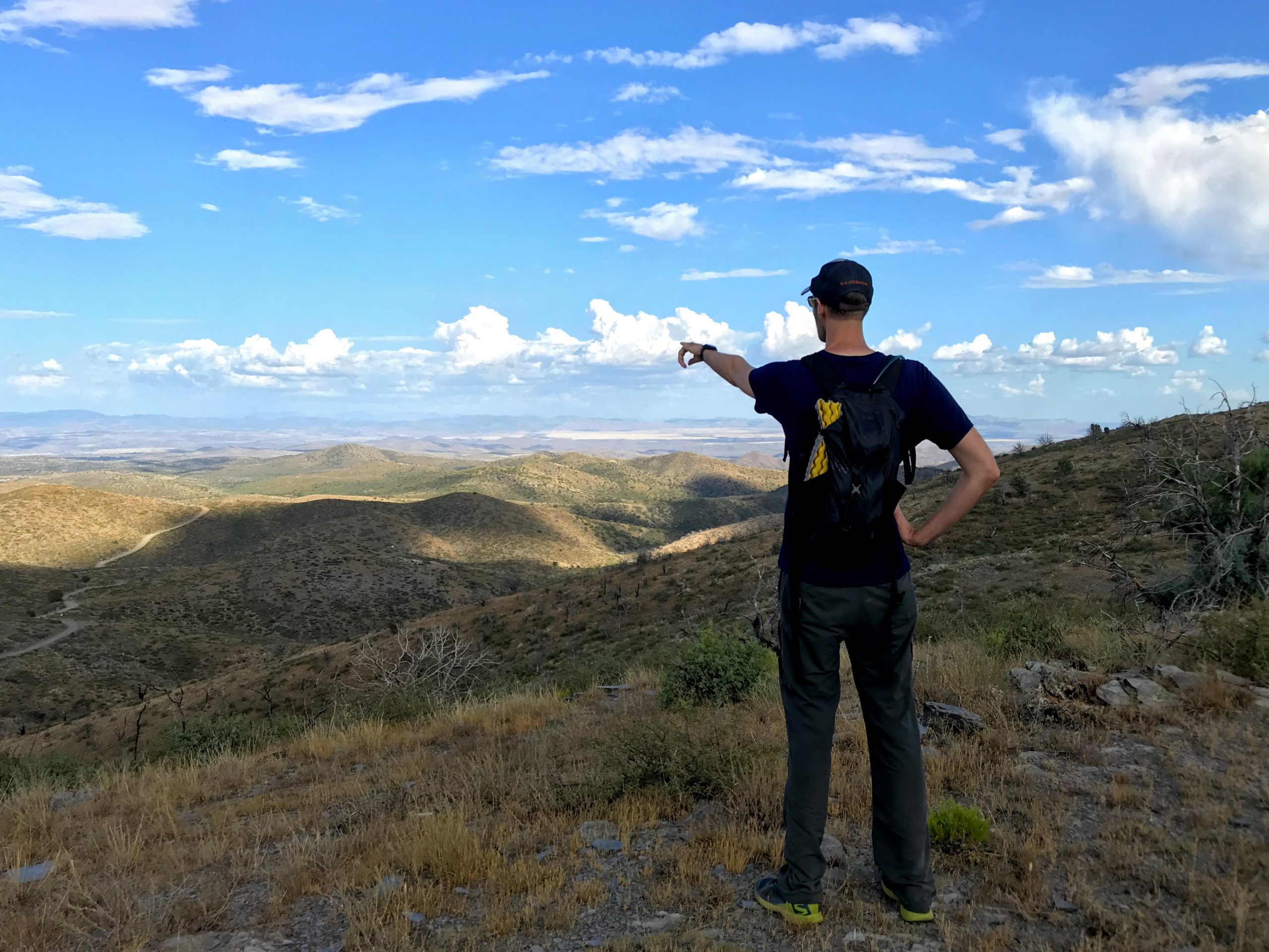
Hiking Opportunities
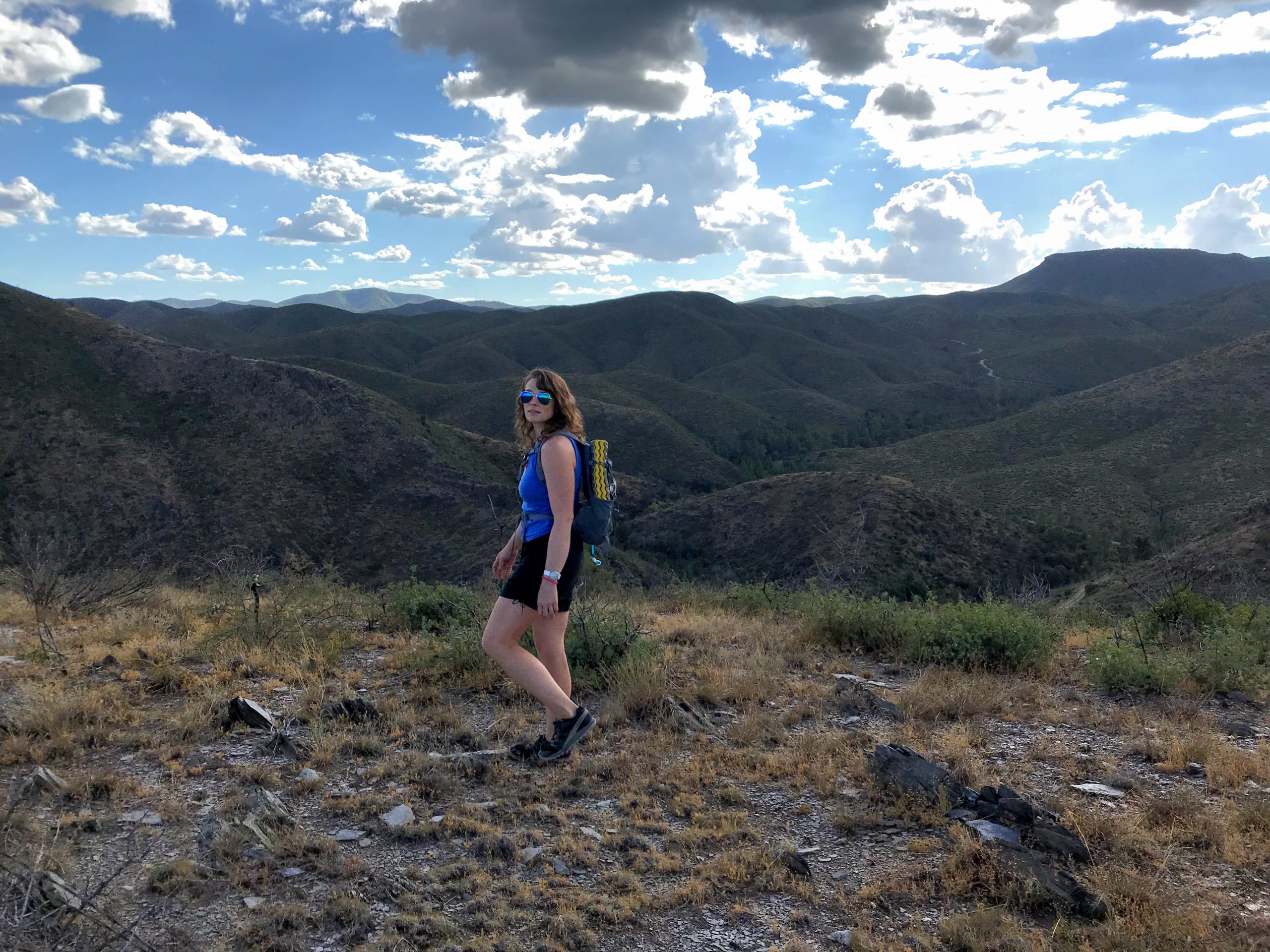
On the Senator Highway, you pass a horse corral and an entrance for the Arrastra trail (#275). Next time, I would definitely stop there to walk around. We did stop at a little pullout on FR 67 and walked up a small mountain. Beautiful views in all directions!
Max elevation: 5644 ft
Min elevation: 5429 ft
Total time: 00:16:46
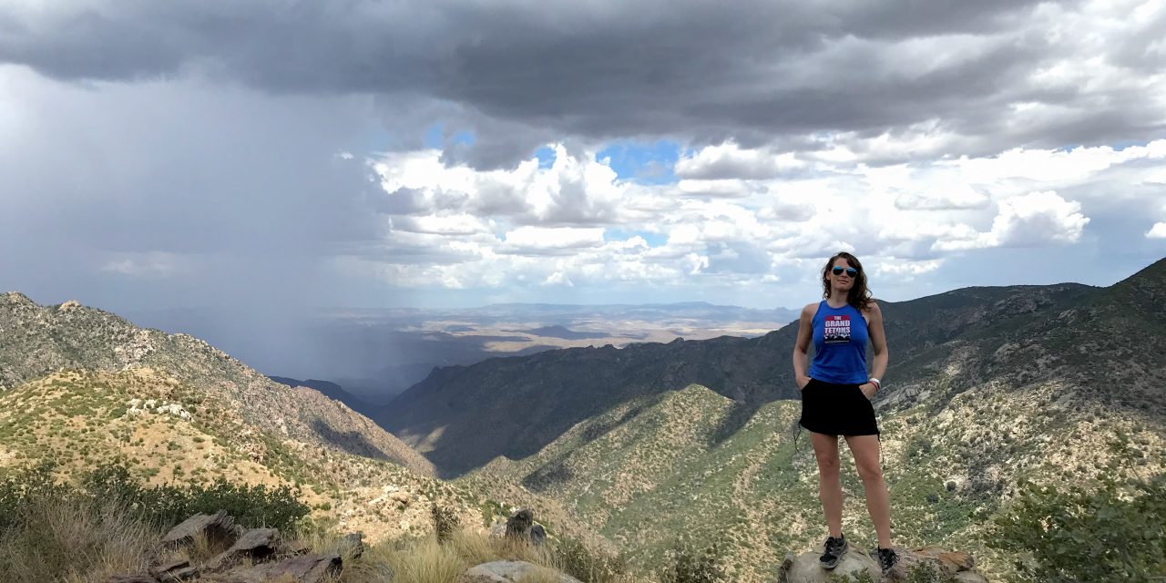
Photos that will Make you Want to go there: