69 Miles
2312 feet
Easy
B Views
Bloody Basin Road Overview
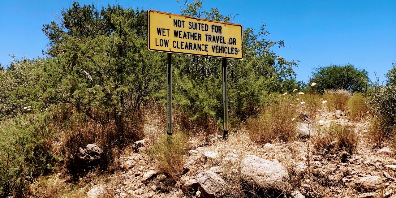
Bloody Basin Road is an easy off-road drive located in the Tonto National Forest. It is a gravel, high-clearance road and does have a couple big bumps to look out for. Not recommended for passenger cars.
Map & Elevation Profile
Max elevation: 4985 ft
Min elevation: 2683 ft
Total time: 06:47:16
Maps & Resources for Bloody Basin Road
Check out these useful maps and resources:
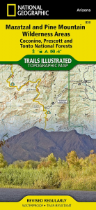
Nat geo #850
Mazatzal and Pine Mountain Wilderness Areas. Has the entire drive on one map but does not include all side roads (affiliate link).
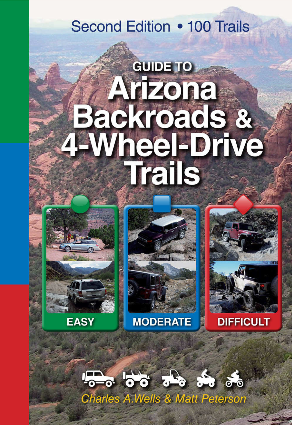
Guide to Arizona Backroads & 4-Wheel-Drive Trails
The book describes driving Bloody Basin out to Sheep’s bridge and has good mileage descriptions/landmarks (affiliate link).
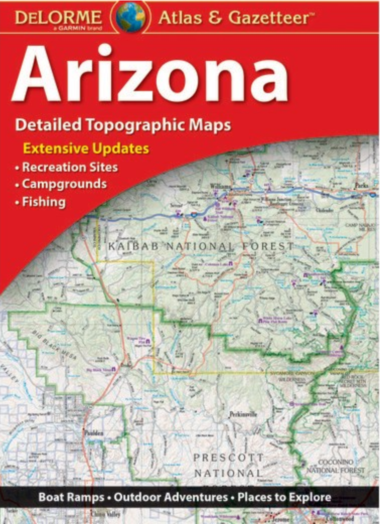
Arizona Road Atlas
You will be out in locations without cell signal and might need to look at a map. Plus can you ever have enough maps (affiliate link)?
What’s our vehicle?
We have a 2015 Jeep Grand Cherokee Limited 4×4 edition. It has 9.3 inches of ground clearance and moderate all-terrain tires (no air suspension or any extra ground clearance).
Bloody Basin Road Off-Road Rating & Road Condition
Bloody Basin Road is considered an easy off-road trail. This road did not require 4WD Low and has minimal really rocky/bumpy sections. Regular passenger vehicles are not recommended. My Fiat 500 would definitely not make it out alive on this road.
A few weeks ago we drove Schnebly Hill Road in Sedona, AZ, and we now compare all other off-road drives to this. Schnebly was incredibly bumpy! I’m talking not being able to go over 5 mph and having to dodge giant rocks for the entire drive type of bumpy. Now we refer to things as being Schnebly-esque or not. Compared to this, Bloody Basin Road is a walk in the park! Or one might say not very Schnebly-esque.
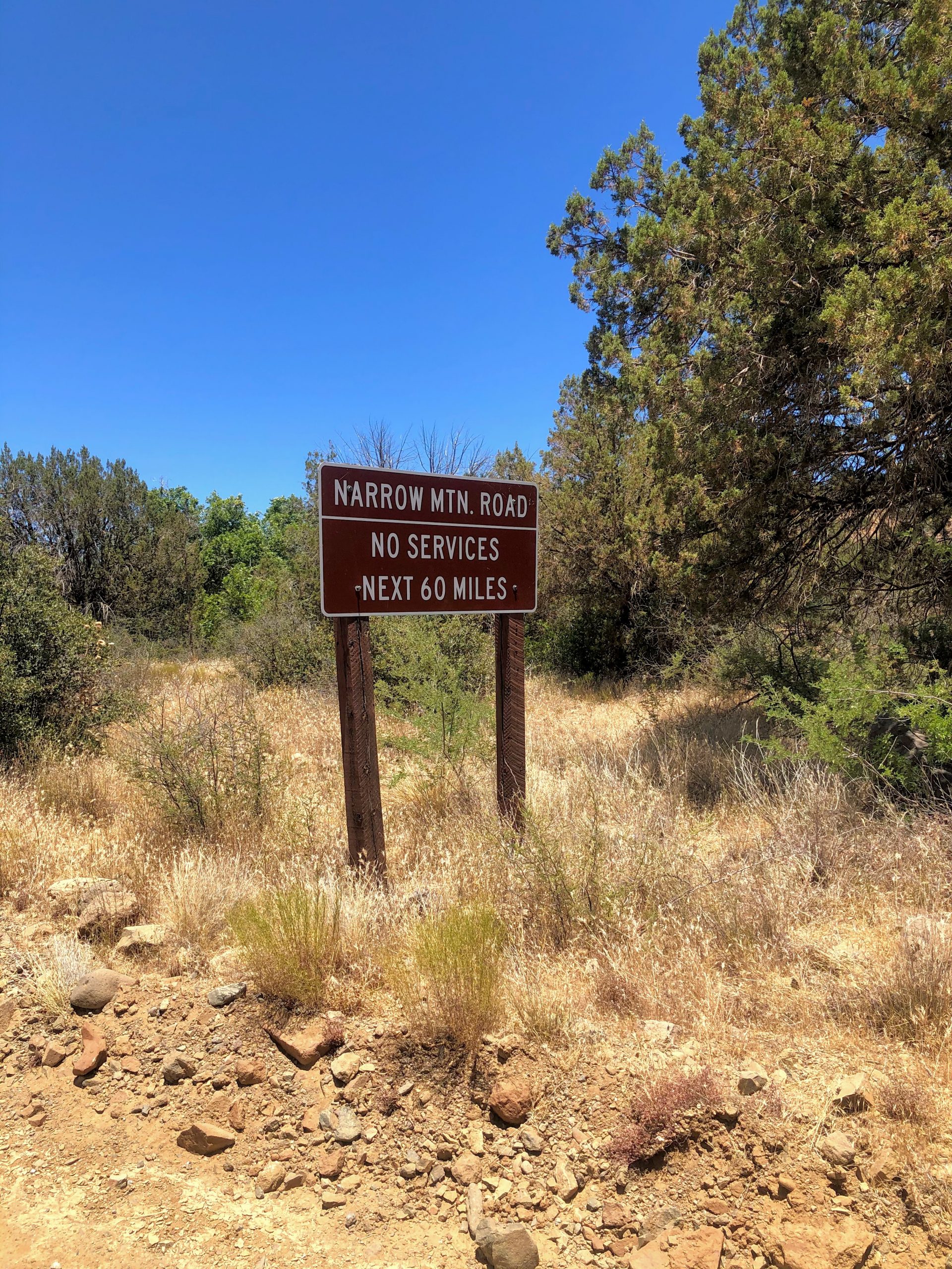
Keep in mind this road is remote and there isn’t good cell service. You’ll be 20 miles or more from the nearest paved road or house. Be smart, bring a spare tire, and do your homework ahead of time!
Necessities
First Aid Kit
Store a first aid kit in your car. Add tweezers because this is AZ and there are cacti everywhere. A blanket/sleeping bag is also a good idea if you need to sleep in your car.
Lots of Water
This is the desert and it’s hot. Keep a large of amount of water in your car. Calculate the amount of water you need and then double it.
Full Spare Tire, Tire pump & repair kit
You could get a flat and will need the tools to fix it. You don’t want to drive out on a doughnut.
Drive Notes
Our new favorite thing to get outside while escaping the Phoenix heat is go off-roading! This is great because we can drive to a location that may be a bit cooler, enjoy great mountain views, and stop for small hikes.
For this trip, we started on N Cave Creek Road in Cave Creek, drove north into the Tonto National Forest until the intersection to Sheep’s Bridge, and then drove out west to I17 through the Agua Fria National Monument.
The first section of the drive is pretty smooth going until you hit the Yavapai county line. From there it gets a bit bumper (but you can still drive 20-25 mph most of the time). One bummer about this section is that you are following the powerlines and always see them. This is why I rated the views on this drive a B.
We thought it might be cool to go to Sheep’s bridge. That portion of the road turned out to be A LOT bumper (average drive speeds of 5-10 mph, about 75% Schnebly-esque). After driving about halfway to Sheep’s bridge, we decided to turn back because it was getting late in the day. Next time though, we are going all the way! If you are thinking about driving out this way, keep in mind that the road gets a lot rougher as you get closer to the Verde River.
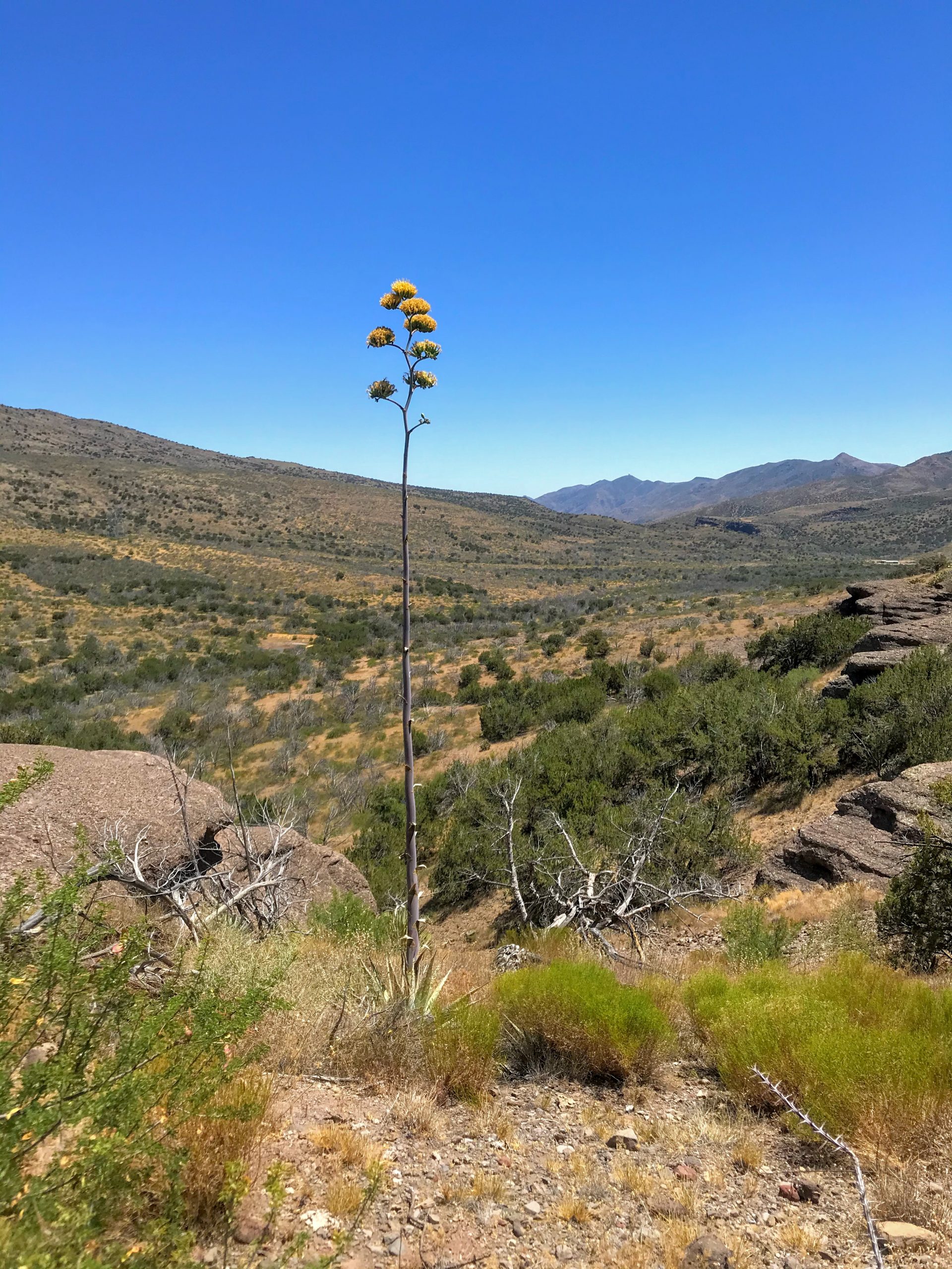
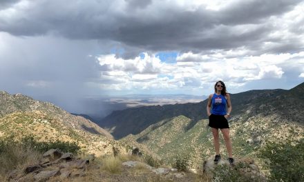
The best part of the drive is climbing the mesa as you head towards I17. The road narrows to one lane and has tight turns, but the views are fantastic!
On the top of the mesa, we hiked FR44 for a bit and enjoyed the pine forest and somewhat cooler temps. Camping up here is on our to-do list.
Heading out to I17 through the Agua Fria National Monument is smooth sailing. The road in the monument is wide with minimal bumps.
For more details on this drive check out this description.
Which direction should you drive?
Entering on the Agua Fria National Monument side and then exiting the Tonto through N Cave Creek Road is likely the better way to go. The reason being that the views when driving south on N Cave Creek Road are excellent! This is one of the best in-town drives!
So, was it worth it?
Bloody Basin Road is a good option to explore the Tonto and not see too many other people. There are tons of great options for camping and exploring. We will definitely be going back (scoped out so many great campsites on this trip!).
Hiking Opportunities
If you need to get out to stretch your legs and doing this in a pine forest sounds good to you, then check out Forest Road 44.
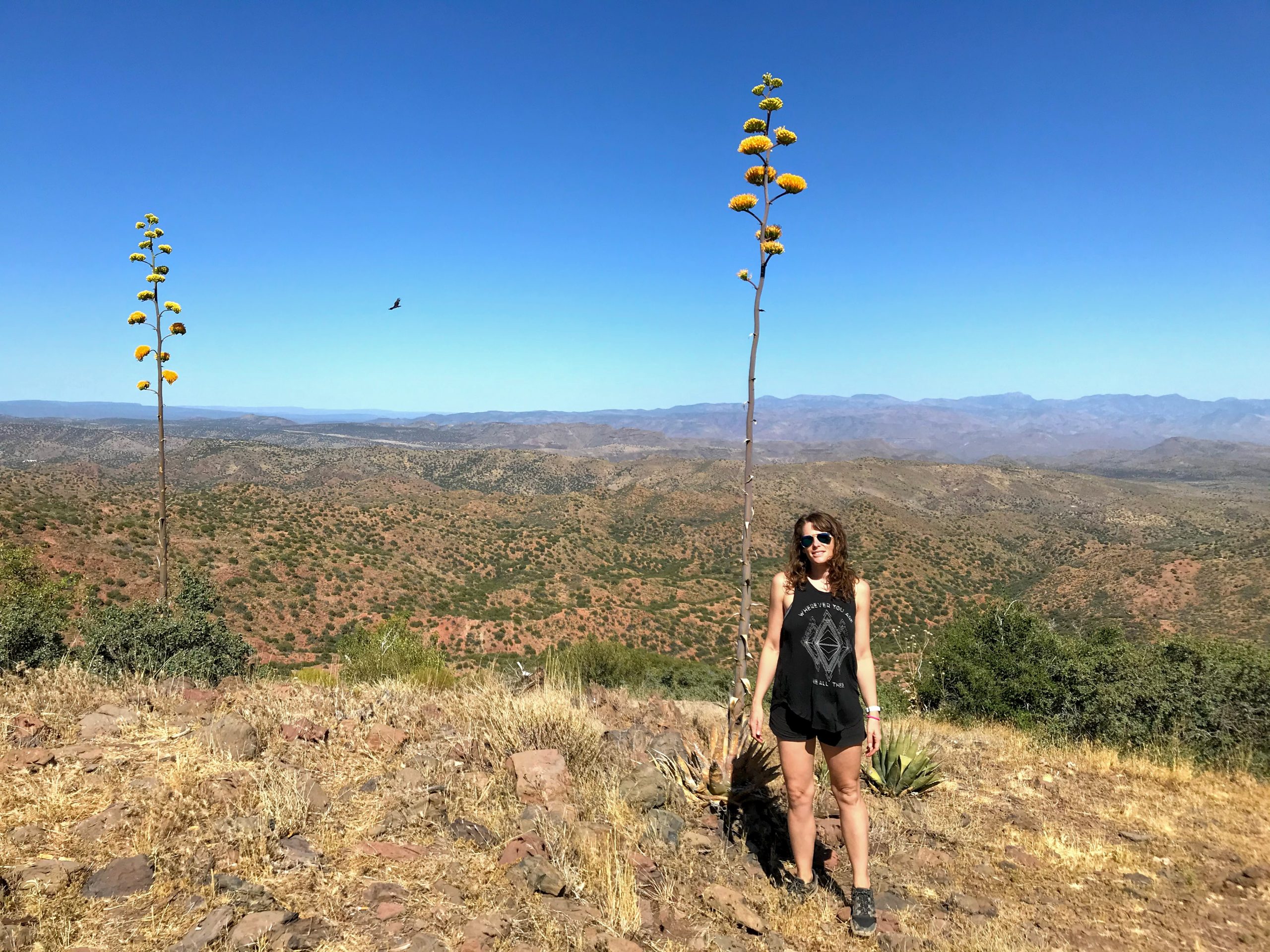
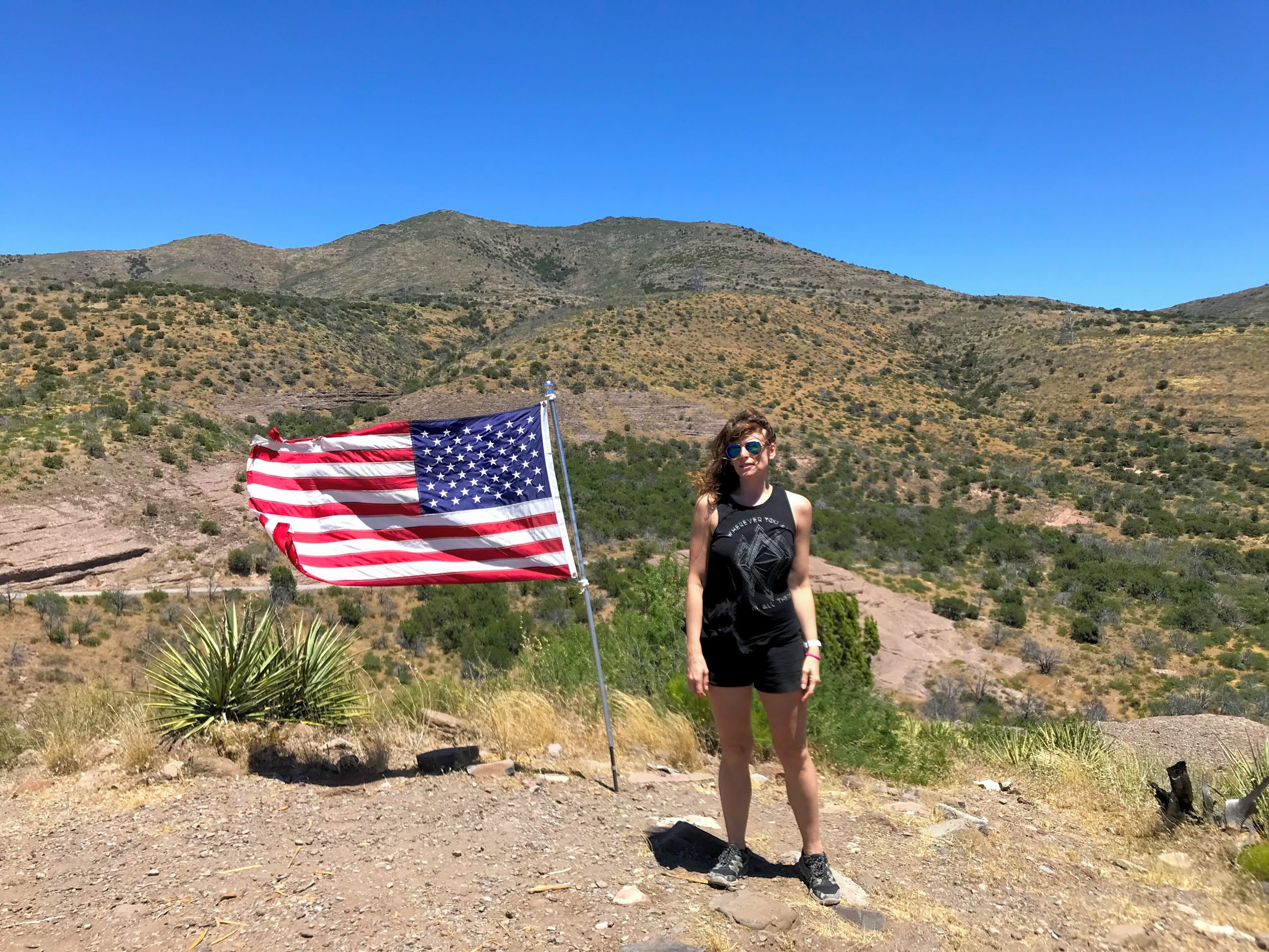
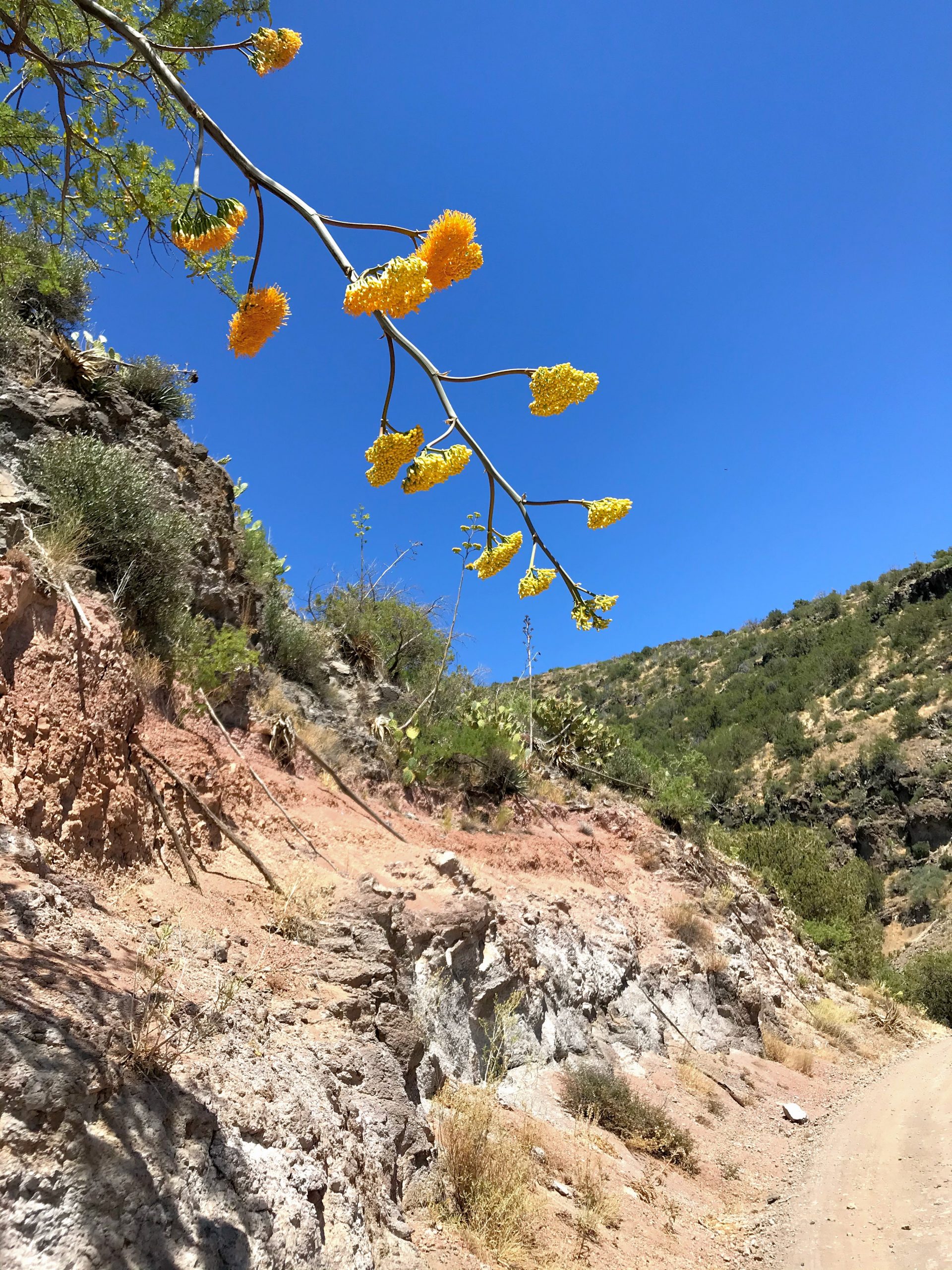
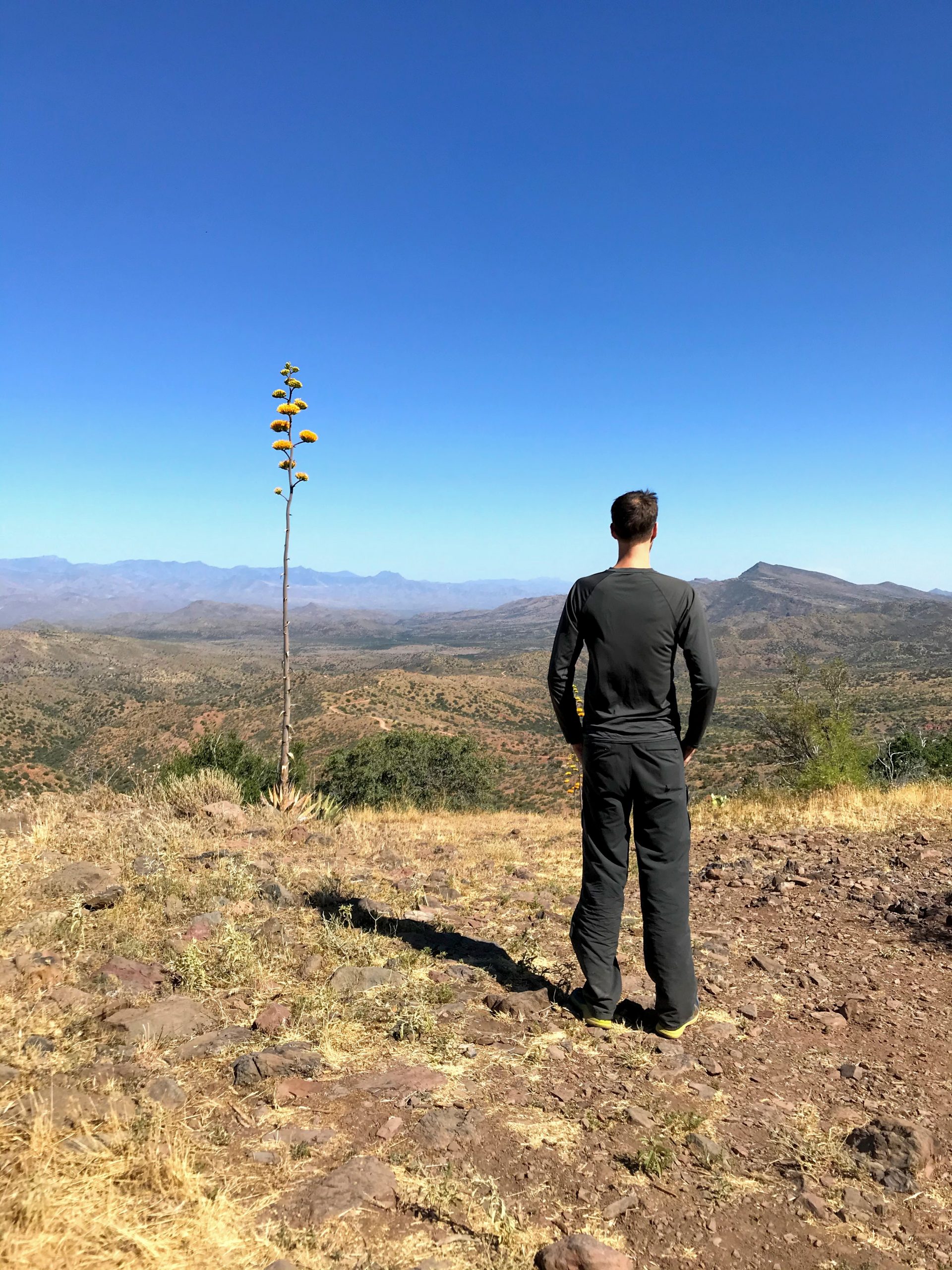
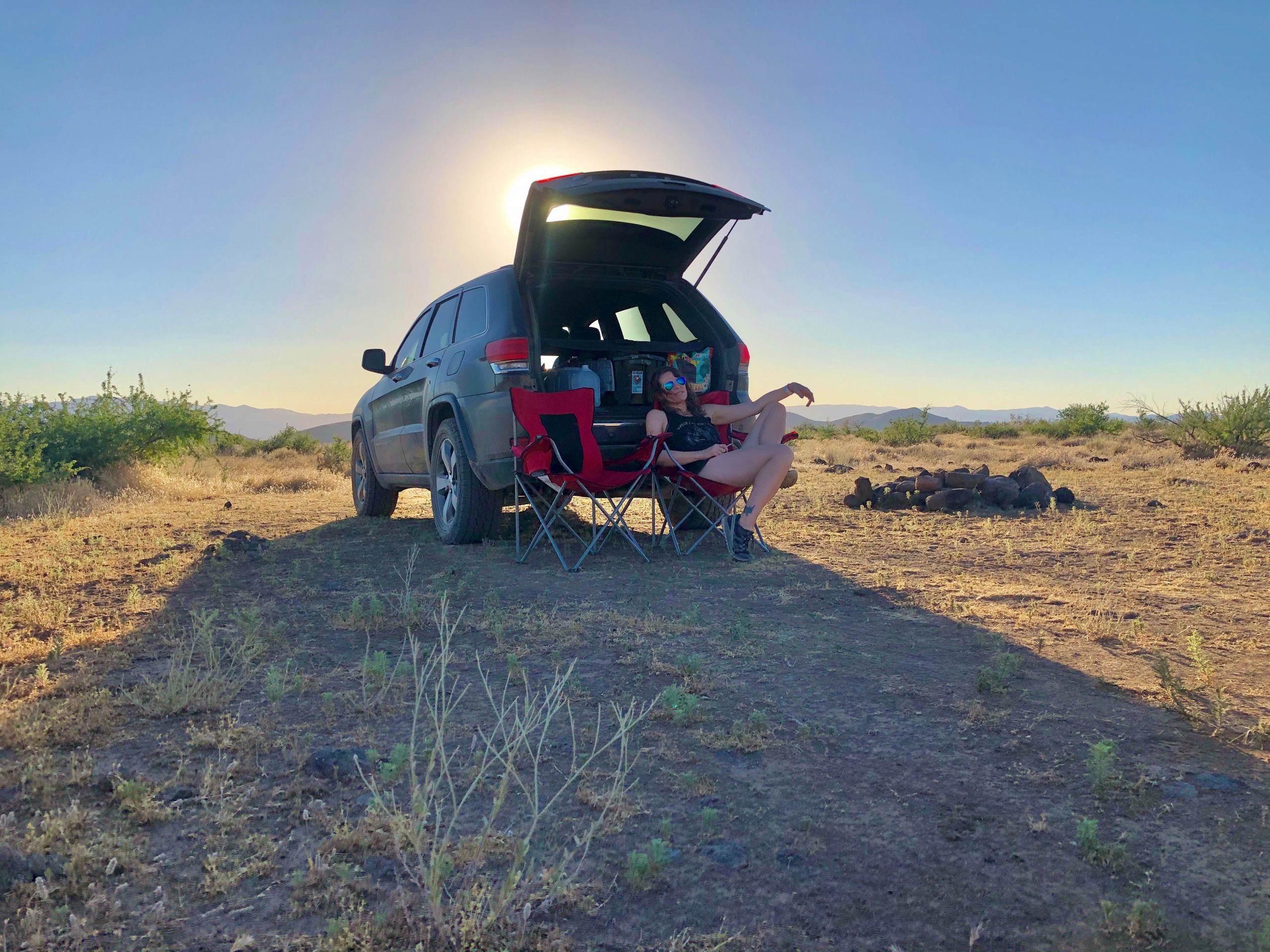
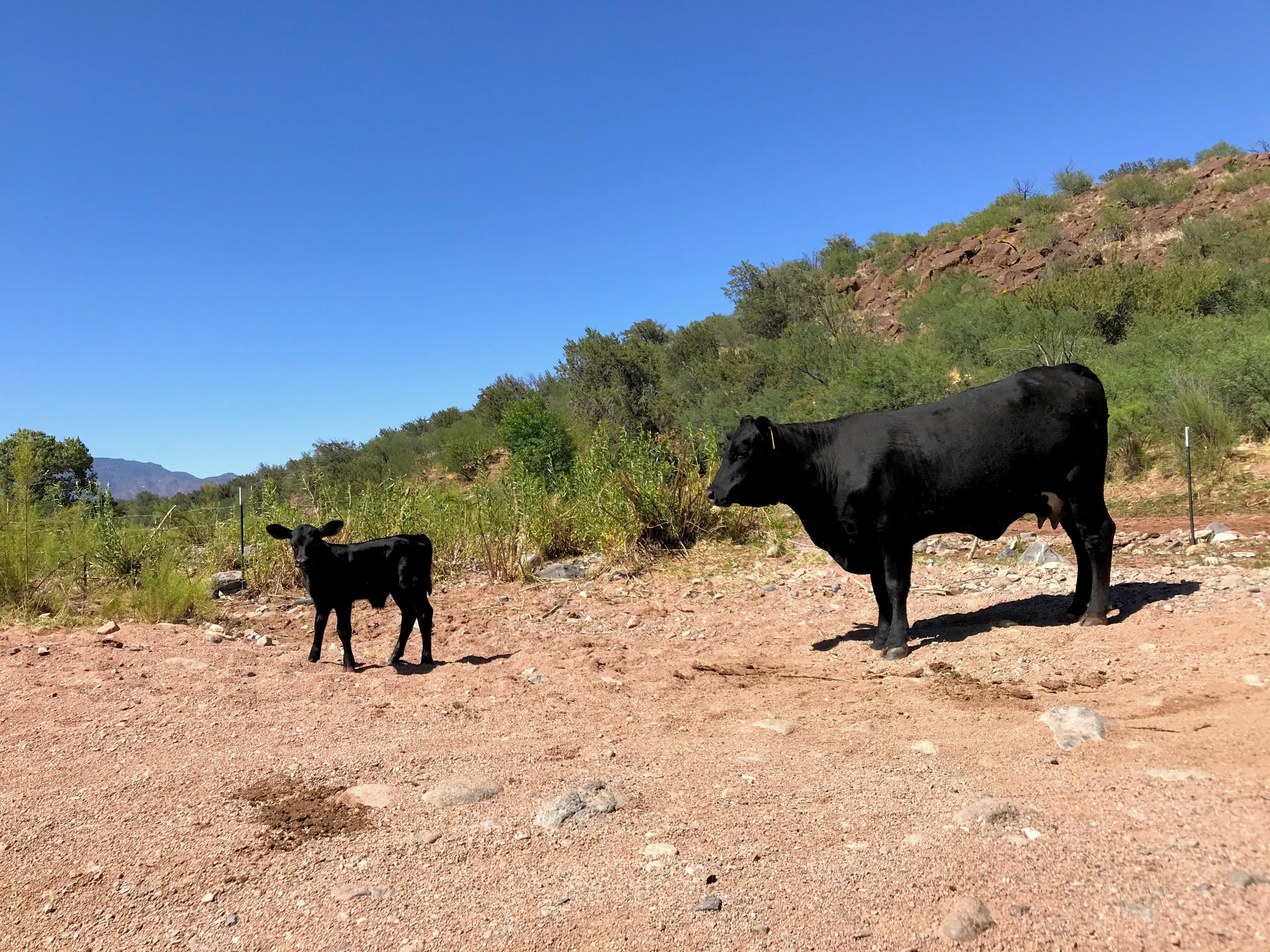
Photos that will Make you Want to go there: