38 Miles
1724 feet
Easy
B Views
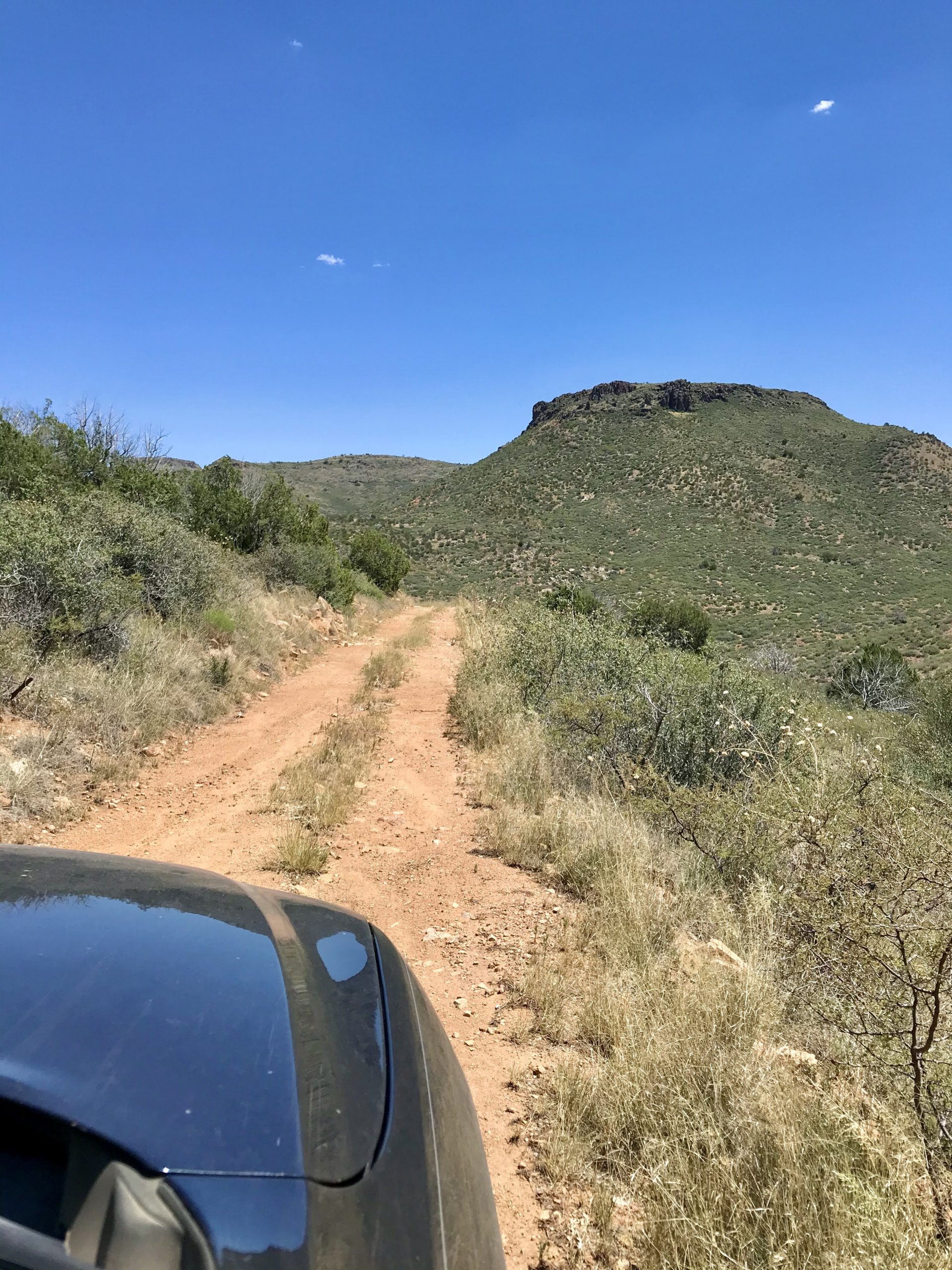
Forest Road 44 Off-Road Drive Overview
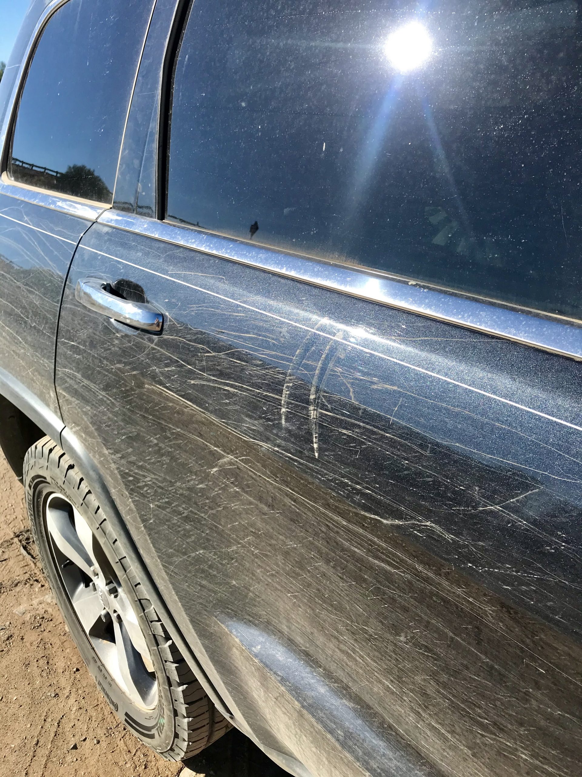
The Forest Road 44 off-road drive is a nice little side loop off Bloody Basin Road. It is single track, doesn’t get a lot of traffic, and has pretty good views. There is a lot of poke-y brush that may scratch your vehicle (ours got a lot of new pinstripe scratches!) and one very rocky area in a wash that may damage your car (we did!).
Map & Elevation Profile
Max elevation: 4964 ft
Min elevation: 3240 ft
Total time: 03:46:59
Maps & Resources for Forest Road 44
Check out these useful maps and resources:
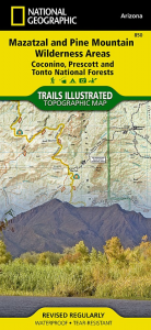
Nat geo #850
Mazatzal and Pine Mountain Wilderness Areas. Has the entire drive on one map but does not include all side roads (affiliate link).
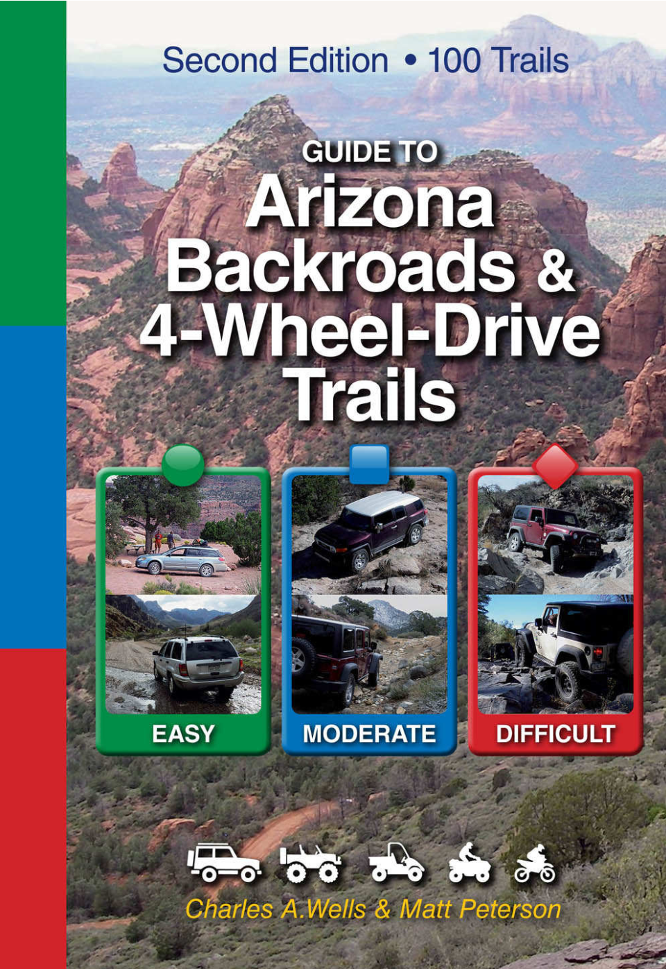
Guide to Arizona Backroads & 4-Wheel-Drive Trails
The book describes driving Bloody Basin out to Sheep’s bridge but not Forest Road 44. It has good mileage descriptions/landmarks though (affiliate link).
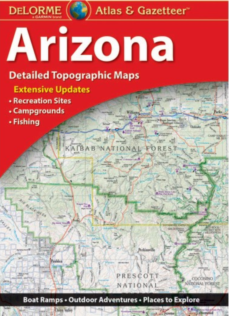
Arizona Road Atlas
You will be out in locations without cell signal and might need to look at a map. Plus can you ever have enough maps (affiliate link)?
What’s our vehicle?
We have a 2015 Jeep Grand Cherokee Limited 4×4 edition. It has 9.3 inches of ground clearance and moderate all-terrain tires (no air suspension or any extra ground clearance).
Forest Road 44 Off-Road Drive Rating & Road Condition
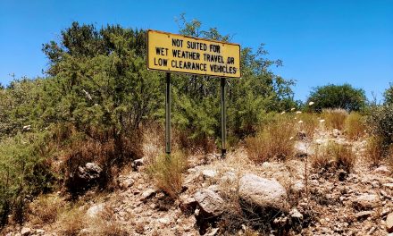
This is an easy off-road trail. Except for one area where the road has been washed out. 4WD low was required in this one spot. It is just past the rugged well site.
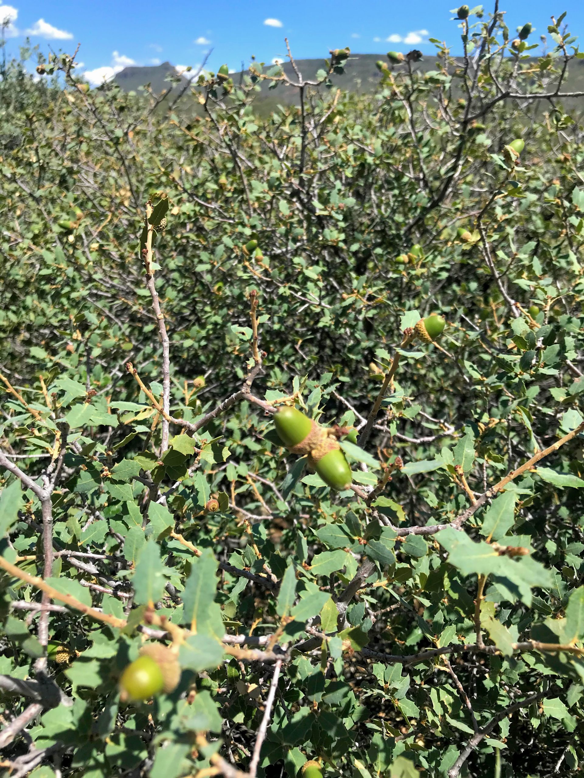
This is a narrow single lane road with very few spots to pass. But it is not traveled very frequently (at least recently anyways) so the likelihood of having to pass someone is low. There were large scratchy shrubs tall enough to scrape the undercarriage in the middle of the road.
Forest Road 44 felt remote. The poke-y shrubs were overgrown during the first third of the drive (when driving clockwise). If you do not wish to get scratches on your vehicle, you probably shouldn’t drive here. Additionally there is no cell service (ATT or Verizon). So come prepared with extra water and food because if you get stuck there, it will probably be awhile.
Necessities
First Aid Kit
Store a first aid kit in your car. Add tweezers because this is AZ and there are cacti everywhere. A blanket/sleeping bag is also a good idea if you need to sleep in your car.
Lots of Water
This is the desert and it’s hot. Keep a large of amount of water in your car. Calculate the amount of water you need and then double it.
Full Spare Tire, Tire pump & repair kit
You could get a flat and will need the tools to fix it. You don’t want to drive out on a doughnut. Definitely a good idea to have a spare on this road!
Drive Notes
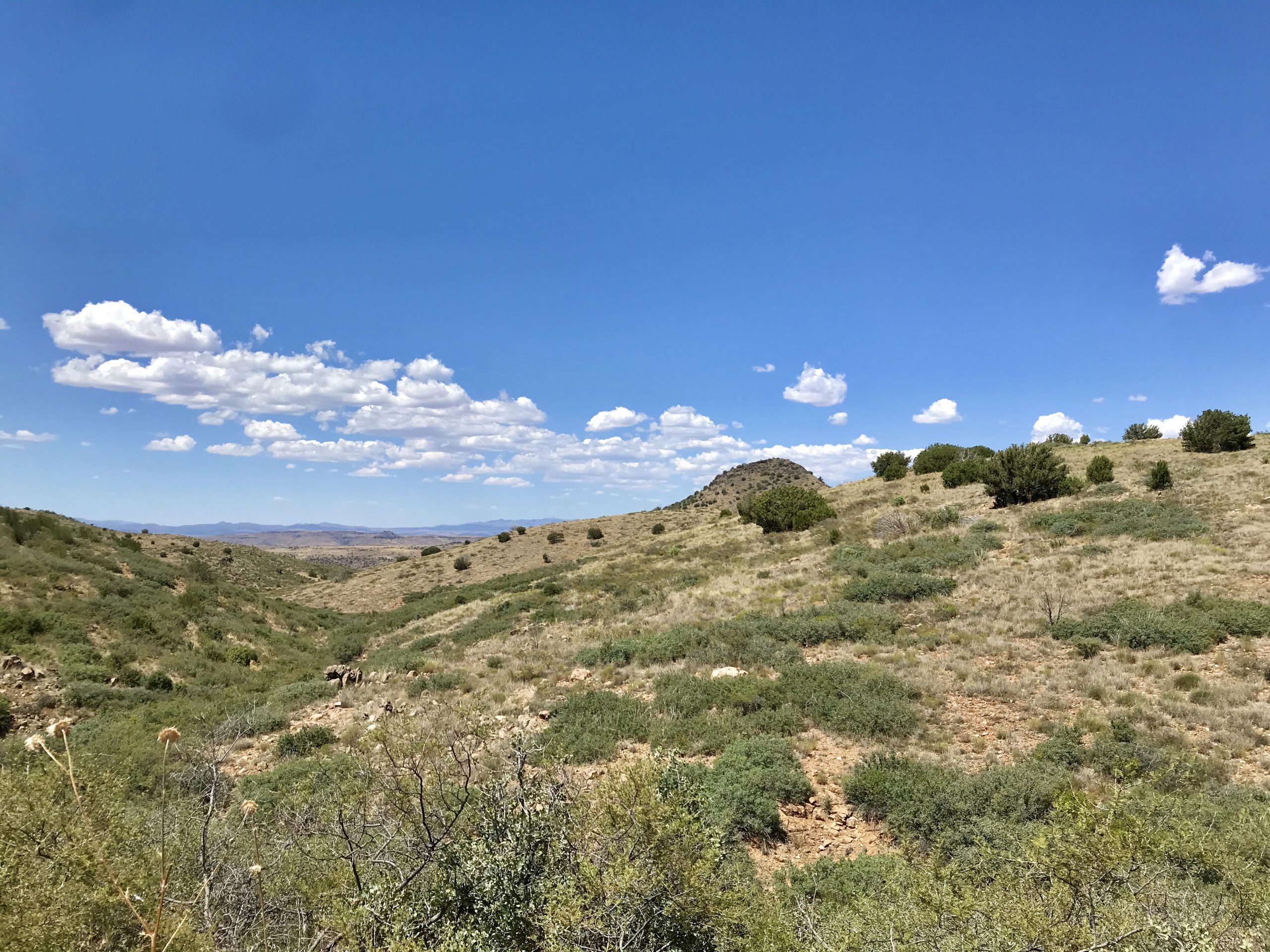
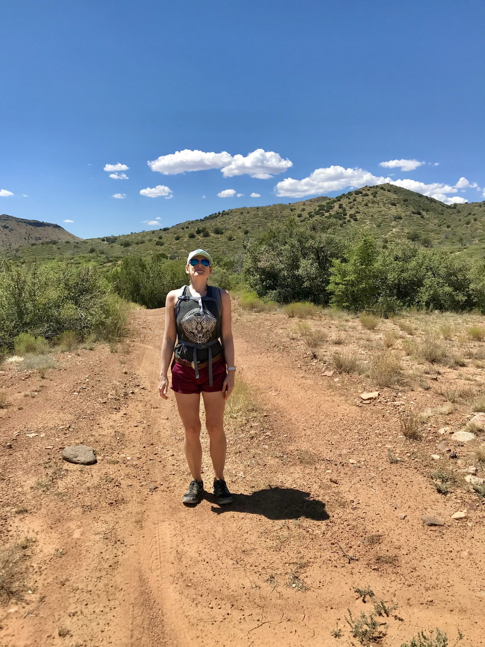
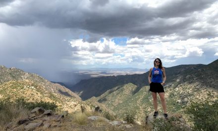
We love the Agua Fria National Monument and the mesa it leads to. The mesa around 5000 feet, making it a tad bit cooler and the views are amazing. There are a lot of ruins in the area that are fun to look at. I love thinking about how the ancient Publean people managed to survive out there.
After exiting I17, the first 8-10 miles in the Agua Fria Monument are easy. It’s a wide, flat, maintained gravel road. Any car type can drive on it. Probably even my Fiat 500. Once you cross into the Tonto National Forest, it instantly gets rockier and bumpier. High clearance vehicles will do you just fine here. You will need to slow down in the bumpy areas but that’s it.
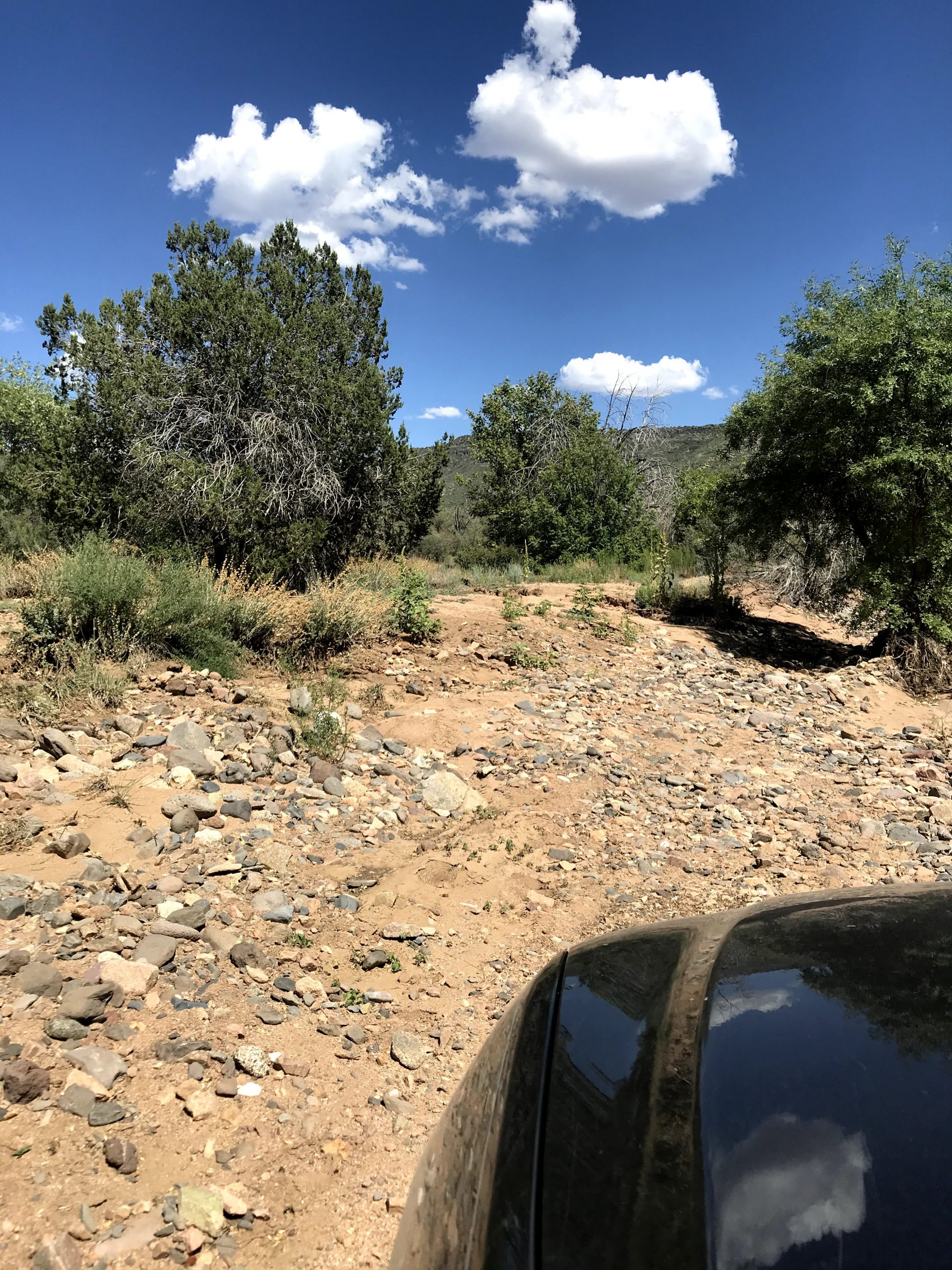
Forest Road 44 is a loop off of Bloody Basin Road and it piqued our interest when we hiked on back in July. This road is narrow with little room for passing and has A LOT of car scratching shrubs along the side. We definitely put new pinstripe scratches on the Grand Cherokee on this trip (see photo in the gallery). A few years back, we drove River Road in Big Bend National Park and completely scratched up the sides there. We just added a bunch more on this drive!
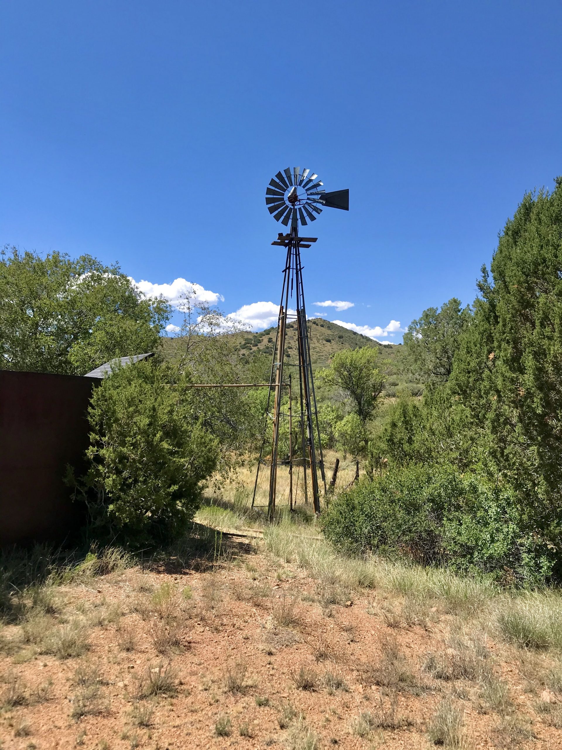
The one tough spot
Just east of the windmill and Forest Road 585, the road in the wash is gone (washed out from heavy rain). There are large boulders (~12 in) in this area that required 4WD low. While trying to drive this section, I got the car wedged in between some rocks, gassed it causing the car to lurch and break the bottom plastic part under the bumper. Whoops!
When I had the car half stuck, different scenarios flashed across my mind. Would I miss my 8 am call with my favorite customer in the morning? How would I tell her I wouldn’t make the call? It would take a loooooooooooog time to get rescued and there was no service. We would have to hike to find service. I was so glad we had a lot of extra water.
Naturally, we discussed how we need to buy a Maverick/Rzr/UTV vehicle the whole drive home 😊.
For more details on driving Bloody Basin Road check out this description or this one.
So, was it worth it?
Forest Road 44 off-road drive is a fun little side loop. Especially if you don’t want to see other people. The scenery is great and it is remote and peaceful. It felt awesome to be out there. Especially since we didn’t get the car stuck and easily made it back out. Overall it was a really fun day.
Hiking Opportunities
There are a couple of little side roads to walk along if you want to go for a hike. We walked along Forest Road 585 to a little dam. You could also just walk along the road like we did on another trip. Read more here Forest Road 44.
Photos that will Make you Want to go there: