3.2 Miles
787 feet
Moderate
A+ Views
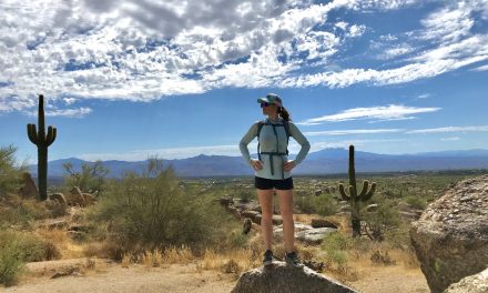
Watson lake hike Overview
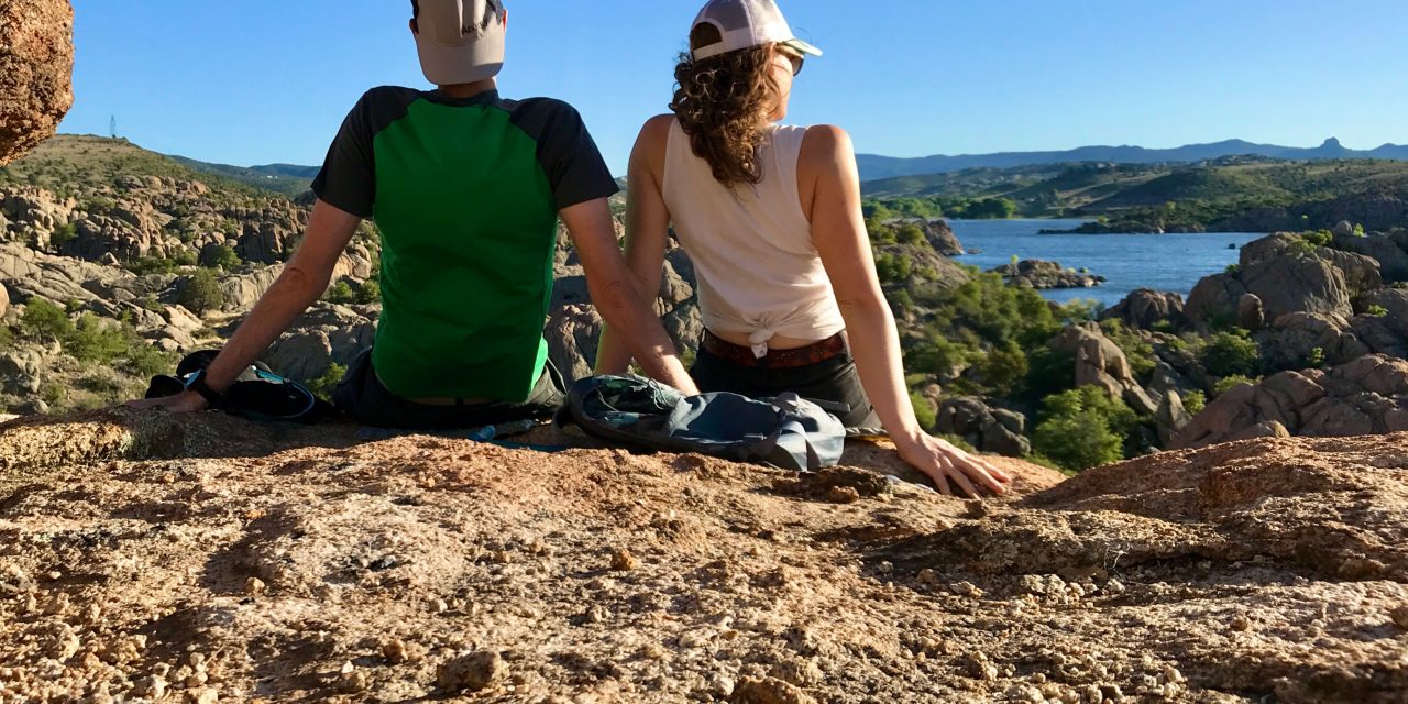
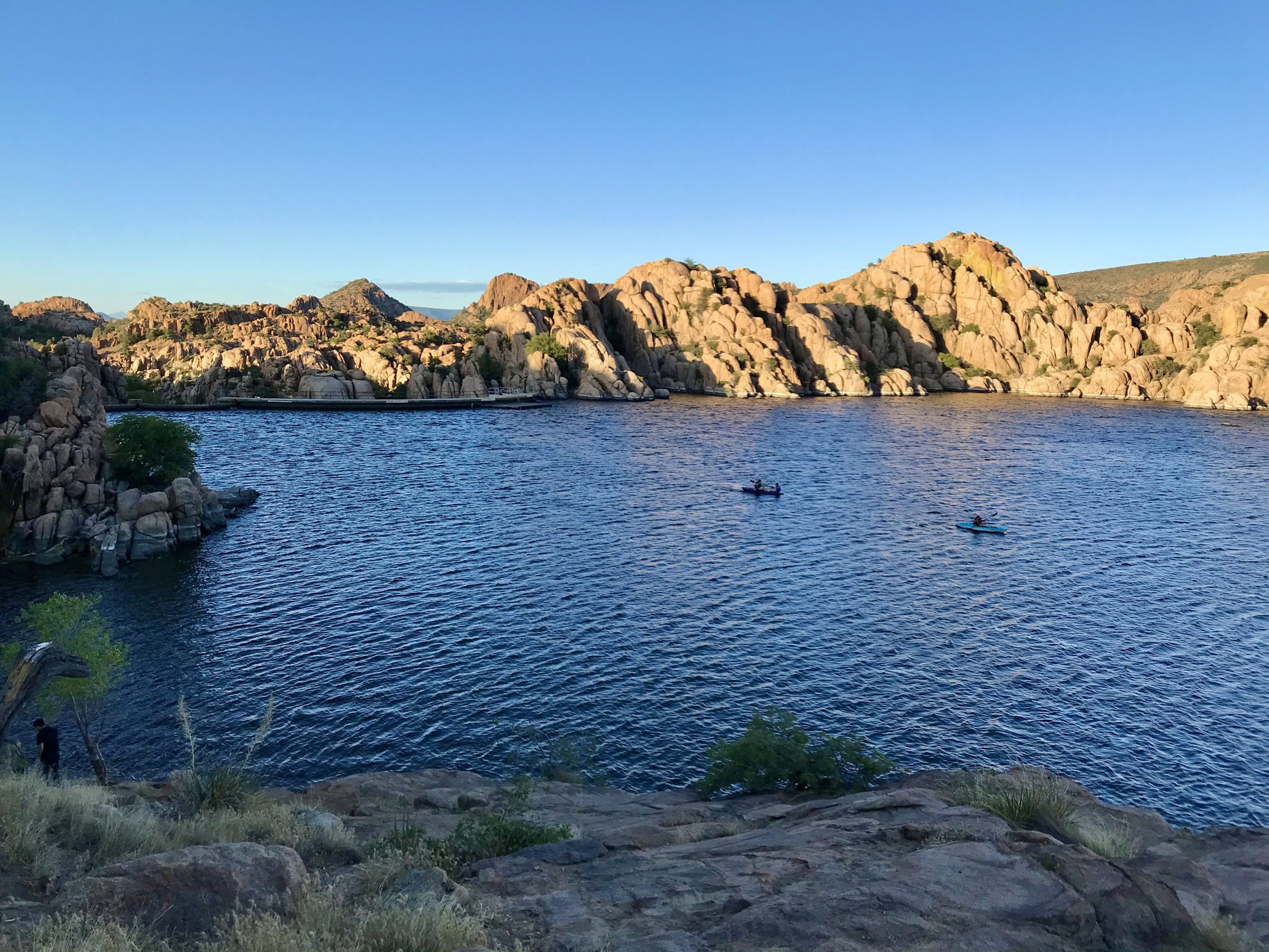
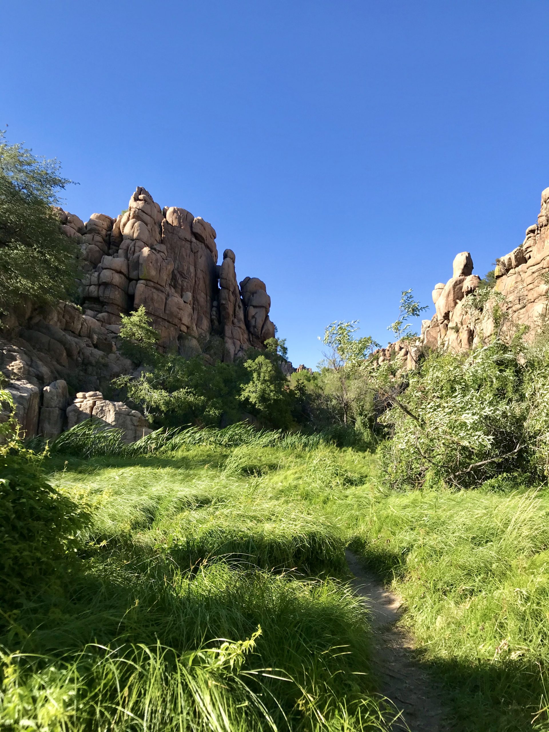
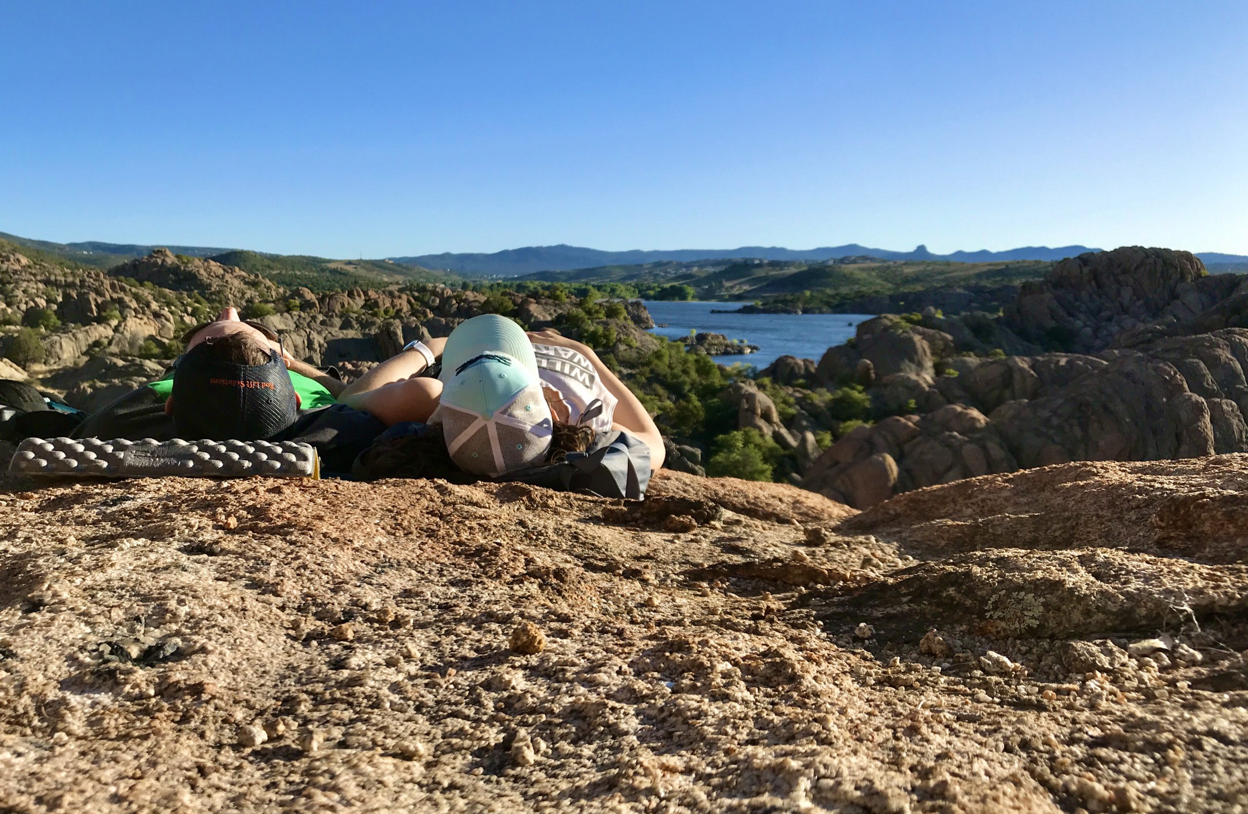
Do you like looking at cool rocks and walking around in boulder piles? Then you will love hiking around Watson lake! We walked around just about to the secret cove area and turned around because we are lazy hikers and enjoy trail naps. The trail goes around the entire lake is about 5 miles.
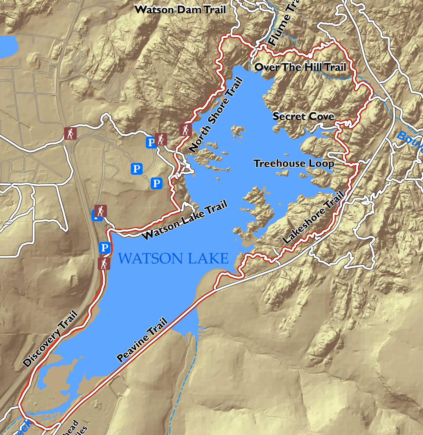
Map & Elevation Profile
Max elevation: 5071 ft
Min elevation: 4904 ft
Total time: 02:04:33
More maps for hiking watson lake
Because you can never have too many maps.
City of Prescott Map
It’s free!
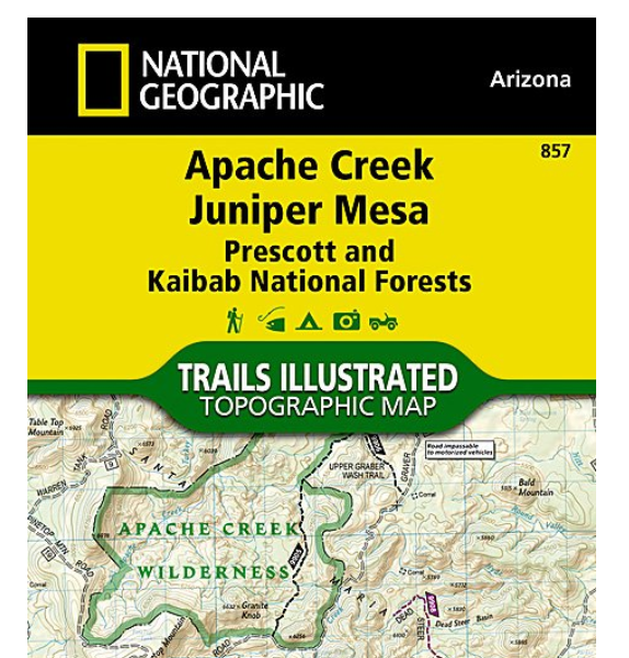
Nat geo #857
Apache Creek, Juniper Mesa. Doesn’t include very much trail detail but does have topo information.
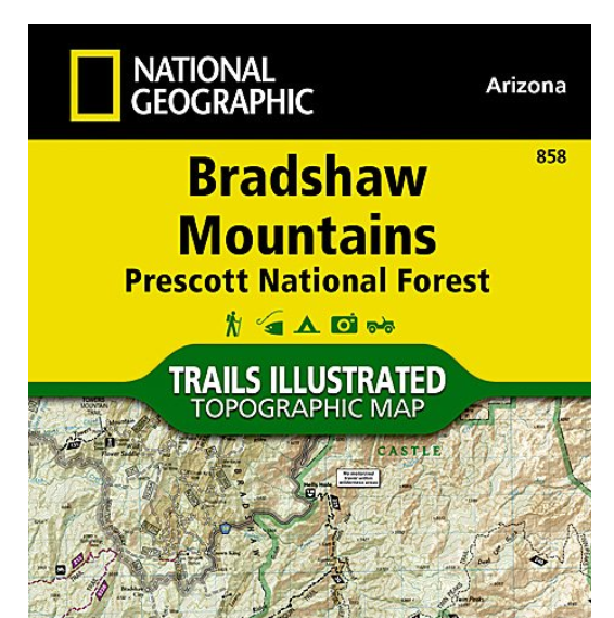
Nat geo #858
Bradshaw Mountains. Doesn’t include very much trail detail but does have topo information.
Parking
Put in “Watson Lake Park Prescott, AZ” into Google maps. Parking costs $3 (and is free on Wednesdays!) and there is a kiosk to pay by card. There is ample parking here and we parked at the north boat launch lot. Note that there are many other parking areas around the lake.
Trail notes
When we left Phoenix it was 109F. When we arrived at Watson Lake it was 83F and glorious! The temperature was perfect.
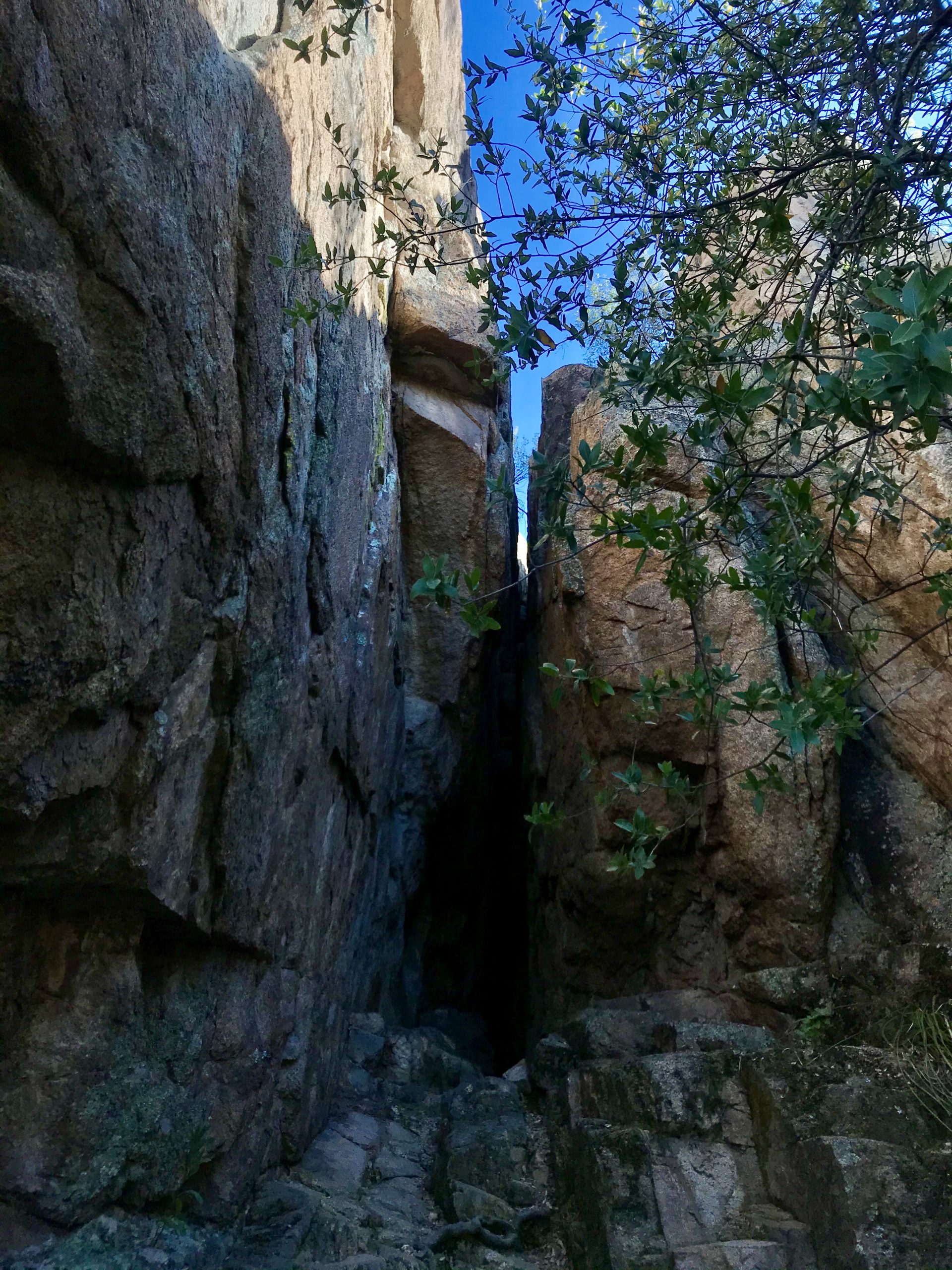
The entrances to the trail are marked with maps on signposts and the trail itself is marked with white dots on the ground. The white dots are not always easy to spot and there are a lot of social trails. A couple of times we wandered off the main trail. So keep an eye out for those white dots.
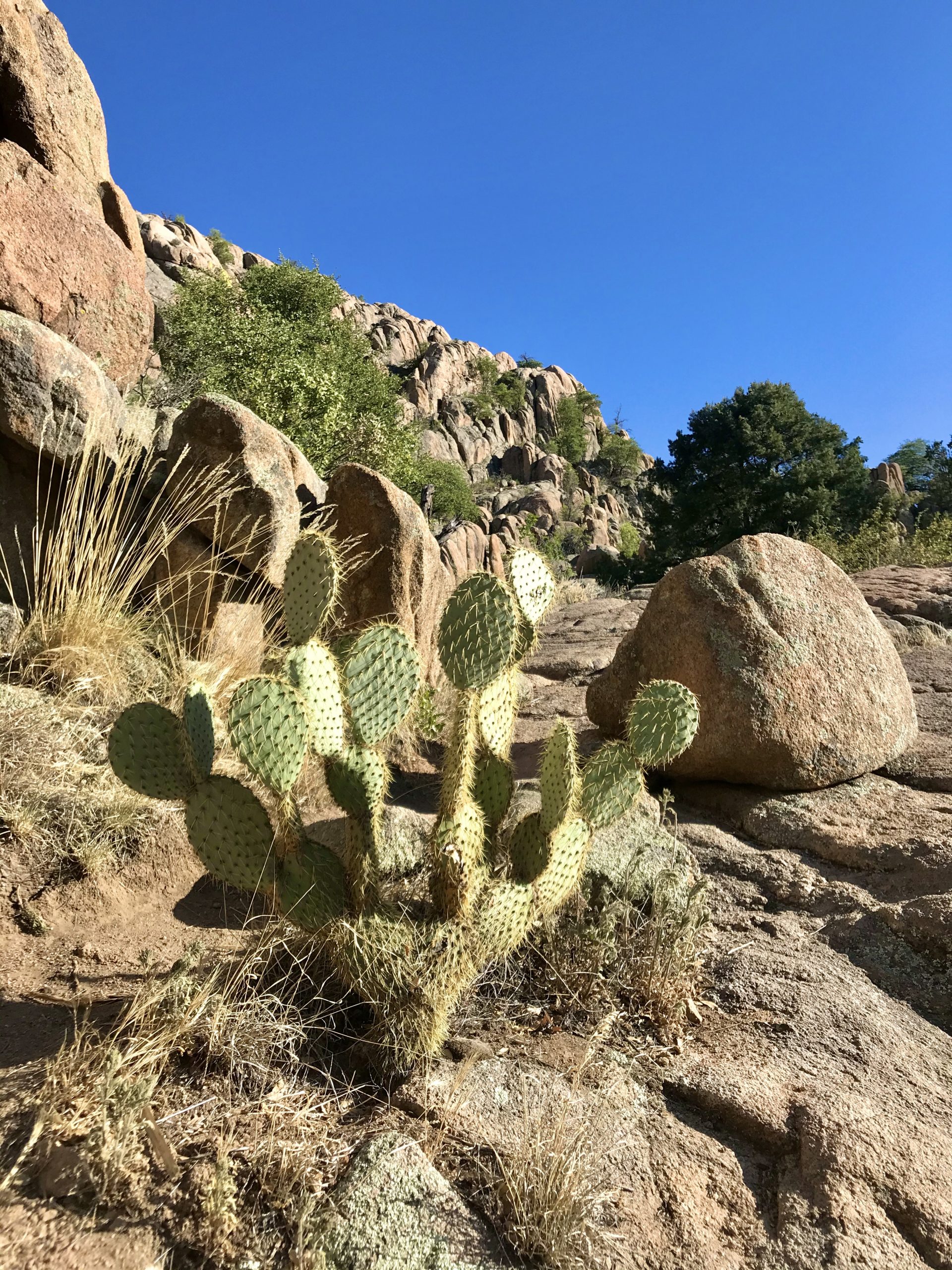
Expect quite a bit of up and down. I went in thinking the trail would be an easy flat stroll around the lake. There are a lot of boulders with big steps. Because of this we rated it moderate. A few folks reported it’s not great for dogs.
For a more details check out this trail description from AZ Utopia.
Pro tip
After hiking Watson Lake, stop by Casa Perez on your drive out for delicious Mexican. We had the mixed fajitas and I was in heaven. I’m pretty sure the flour tortillas were homemade.
So, was it worth it?
Yes! Absolutely. Gorgeous views, fun trail with a little up and a little down, plus a temperature that doesn’t make you melt.
