A+ Views
Bad ATT Signal
Ok Solitude
Quiet at Night
Good Road
No Amenities
Free
A lot of Sites
Dispersed Camping Fire Control Road (Nf-64) Overview
The dispersed camping options along Fire Control Road (Nf-64) are amazing. There is a large number of sites and it is significantly less busy than on the Mogollon Rim. Plus you might score a site looking at the rim! There are zero facilities, so be prepared to carry out all your trash.
Photo Gallery


Maps & Resources for Dispersed Camping Fire Control Road (Nf-64)
Check out these useful maps and resources:
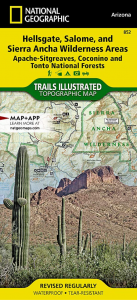
Nat geo #852
Hellsgate, Salome, and Sierra Ancha Wilderness map. It has most of the roads and trails on it (affiliate link).
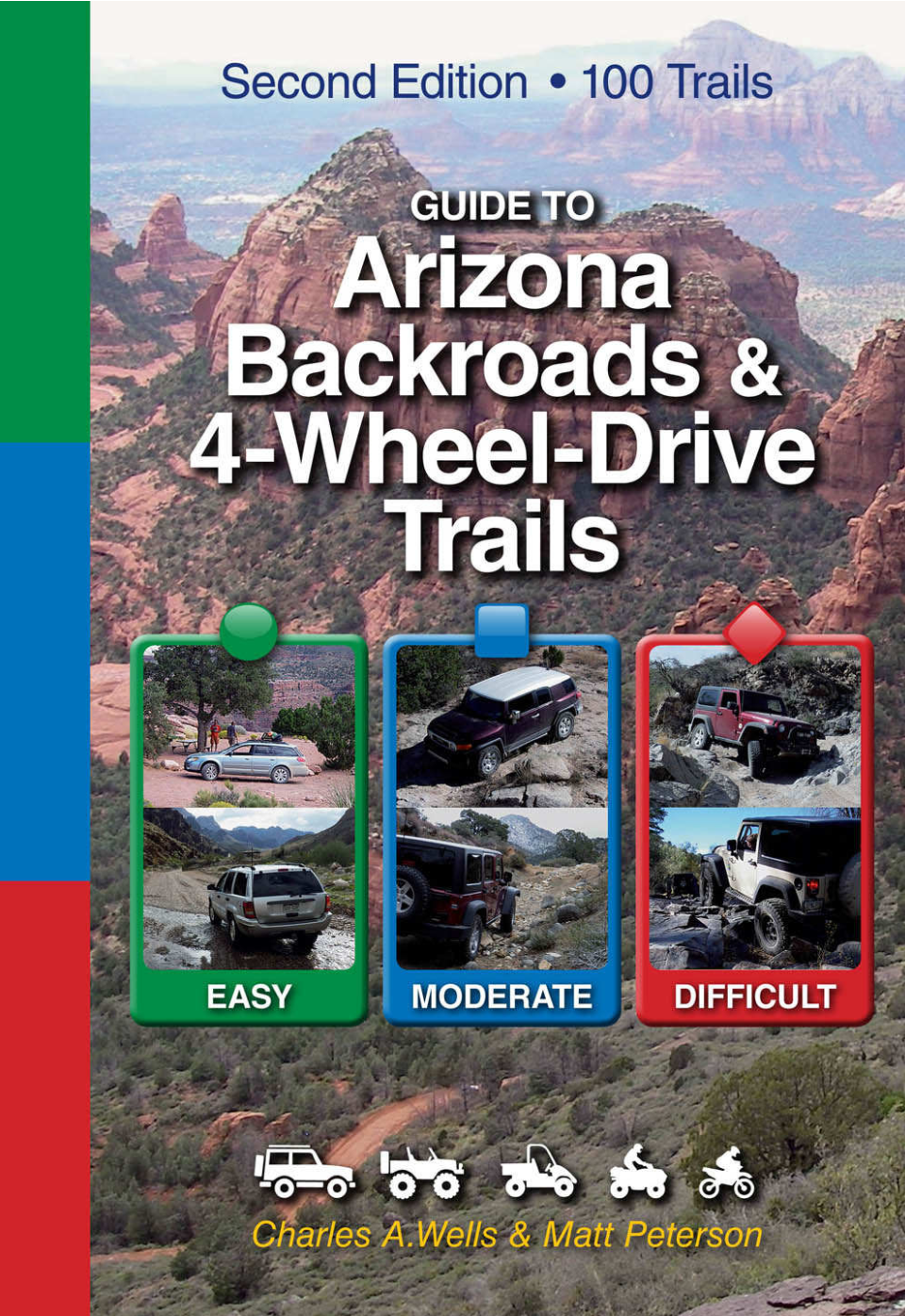
Guide to Arizona Backroads & 4-Wheel-Drive Trails
This book is how we figured out that there is camping along this road! Great for off-roading options in the area as well (affiliate link).
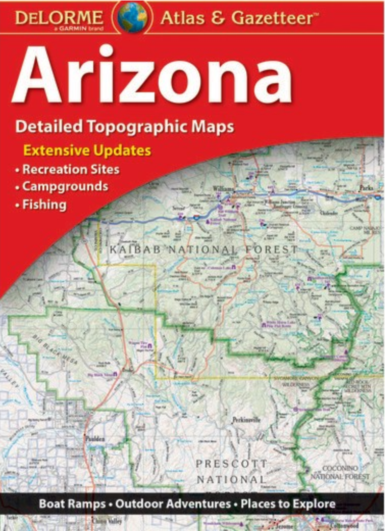
Arizona Road Atlas
You will be out in locations without cell signal and might need to look at a map. Plus can you ever have enough maps (affiliate link)?
Dispersed Camping Fire Control Road (NF-64) Description
Our plan for Labor Day Weekend this year was to hang out over by the Mogollon Rim. We hadn’t visited this area yet and figured it was going to be much cooler over there. There was more record-breaking heat in Phoenix (come on sun it’s September for Pete’s sake, time to cool down!).
The traffic was super backed up on SR-87 to Payson, so we drove through Globe, Young, and up on the Mogollon Rim instead. We ended up dispersed car camping on Fire Control Road (Nf-64) in Payson for two nights.
After seeing all the campers on the Mogollon rim (it was a complete zoo! People everywhere!), I was a little worried about finding a place to camp. This is definitely my biggest complaint about dispersed camping, you never know what is going to be available.
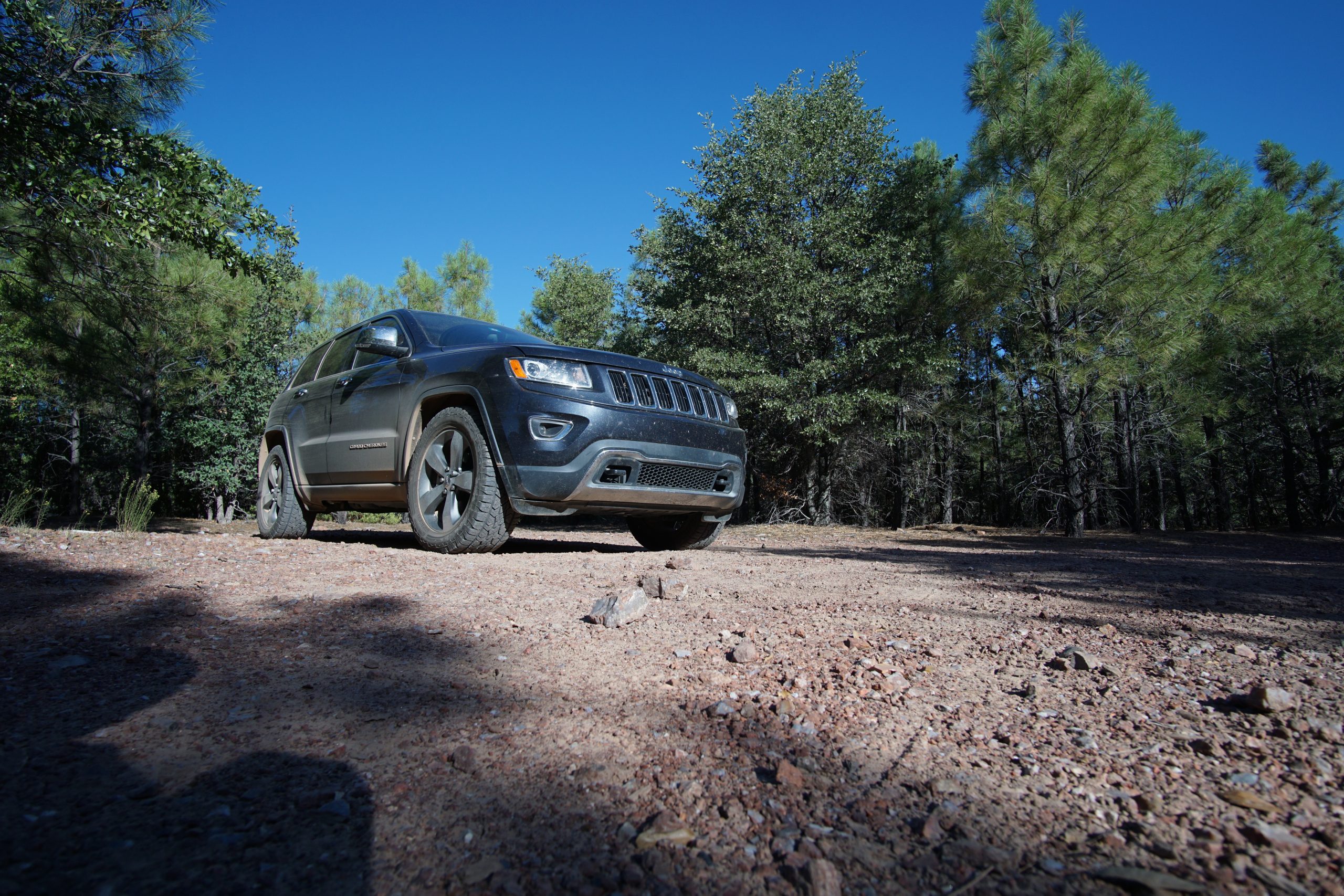
Fire Control Road is an extremely well-maintained gravel road. I imagine just about any type of car, RV, trailer combo, and my Fiat 500, Darla, can drive on this road. There are campsites all up and down this road. It was moderately busy but there were still a lot of sites available.
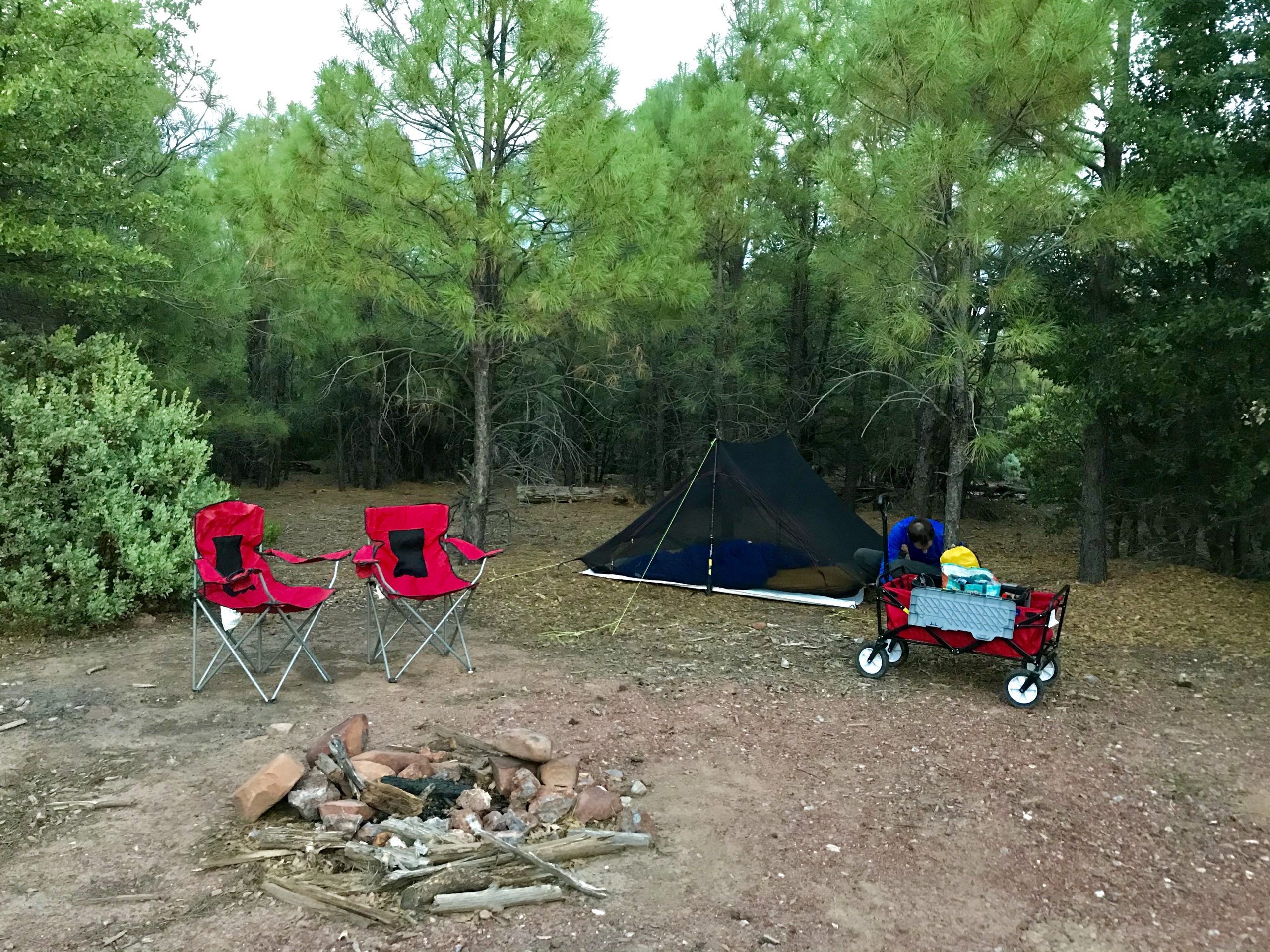
Pine Trees Site
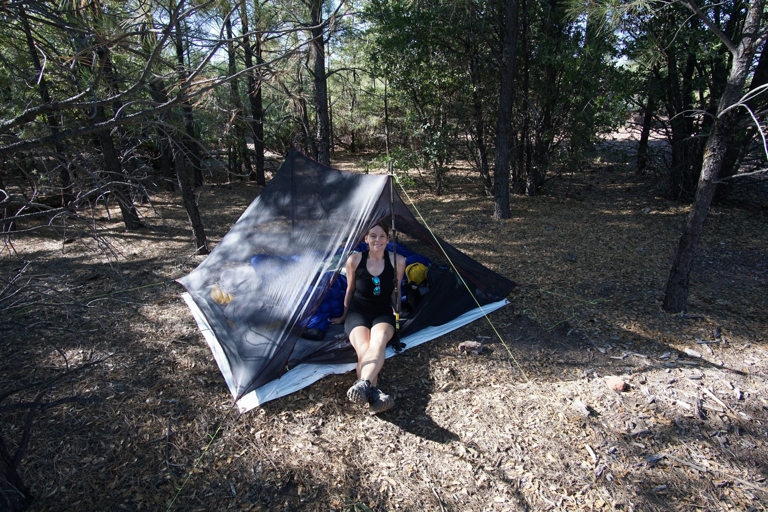
The first night we turned off a random, unmarked side road and discovered a great site surrounded by pine trees.
I’ll admit I was a little negative about this site in the beginning. You can’t blame me for wanting a campsite with views though! But this lovely site with pine tree aromatherapy really grew on me. It was so peaceful!
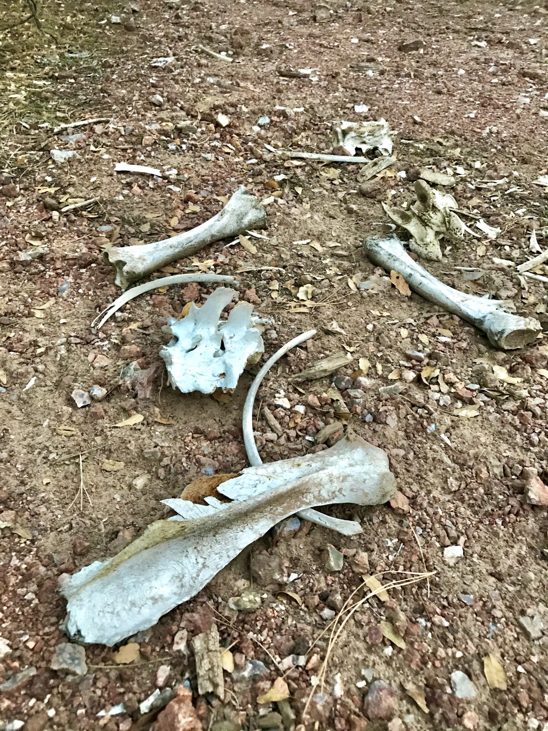
It was very flat and even had a cool pile of bones to check out. The road noise was definitely there but when night rolled around, it was extremely quiet. I thought for sure we would hear ATVs ripping down the road all night long. We didn’t hear another vehicle until 9 am the next day! We slept like babies and laid around the next morning and drank coffee. This campsite gets 2 thumbs up!
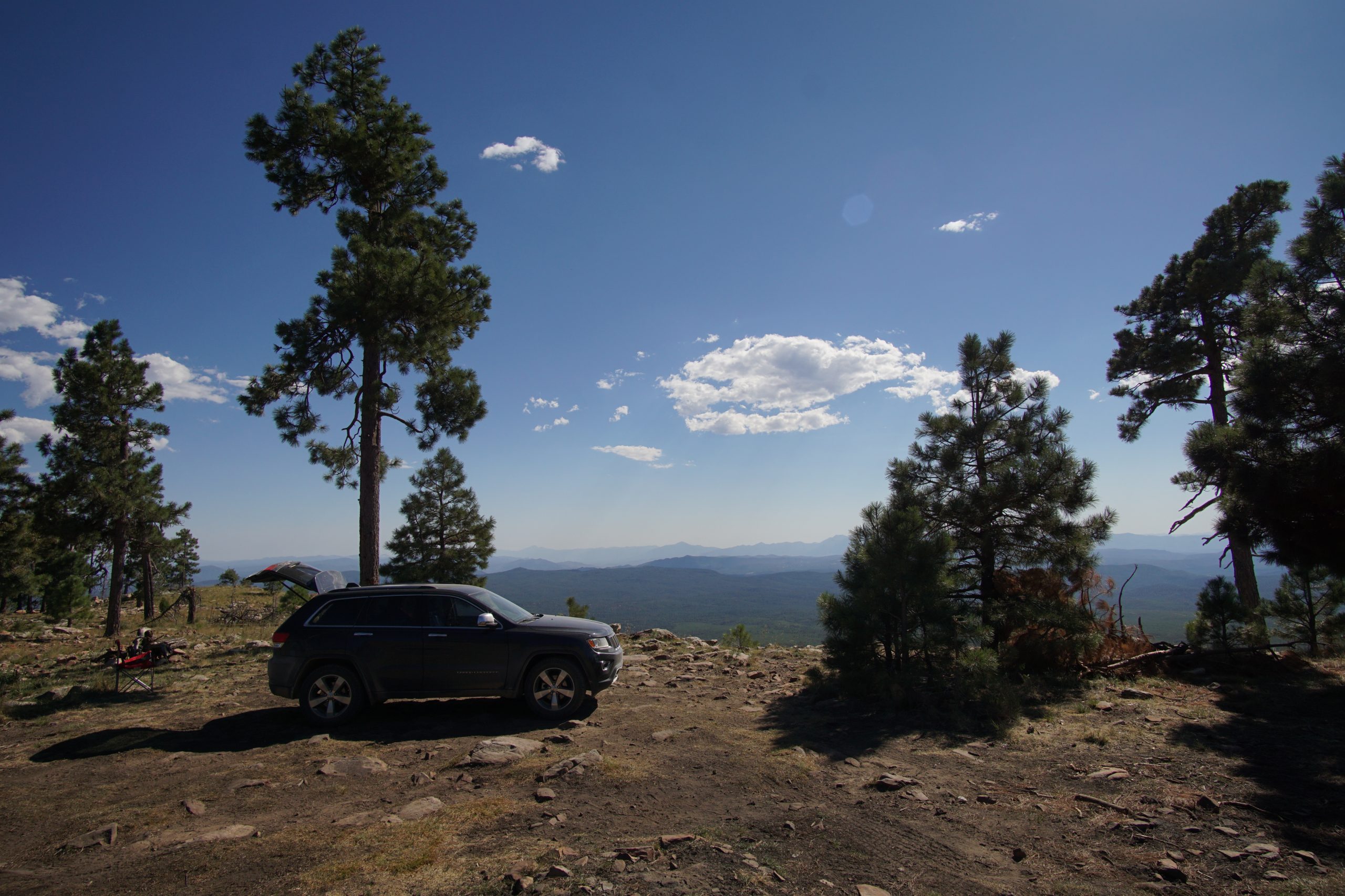
Mogollon Rim Views Site
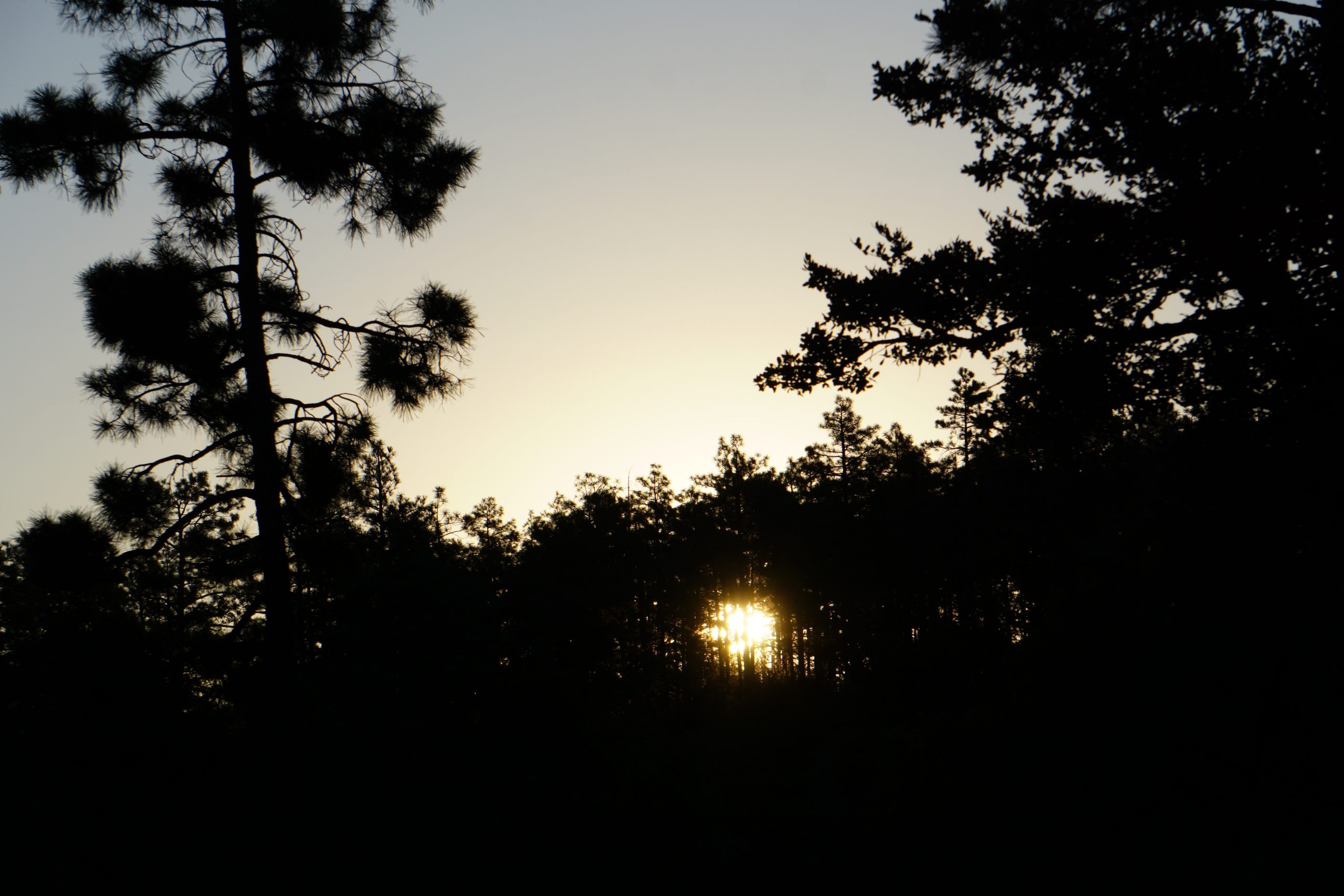
The next day we drove the Mogollon Rim. Holy moly! What a great drive. It’s so beautiful.
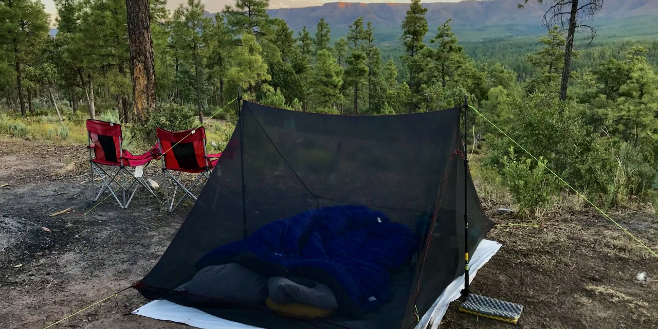
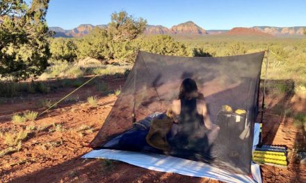
We decided to go back to Fire Control Road to find a campsite and scored an amazing site looking at the Mogollon Rim 🥰. It was perfect with our mesh tent and enjoyed the sun rising on the rim.
This site was closer to the road and is probably the best site along the road. It felt like people were lingering to see if we were staying or going. We parked the car in front of the mesh tent for a little more privacy.
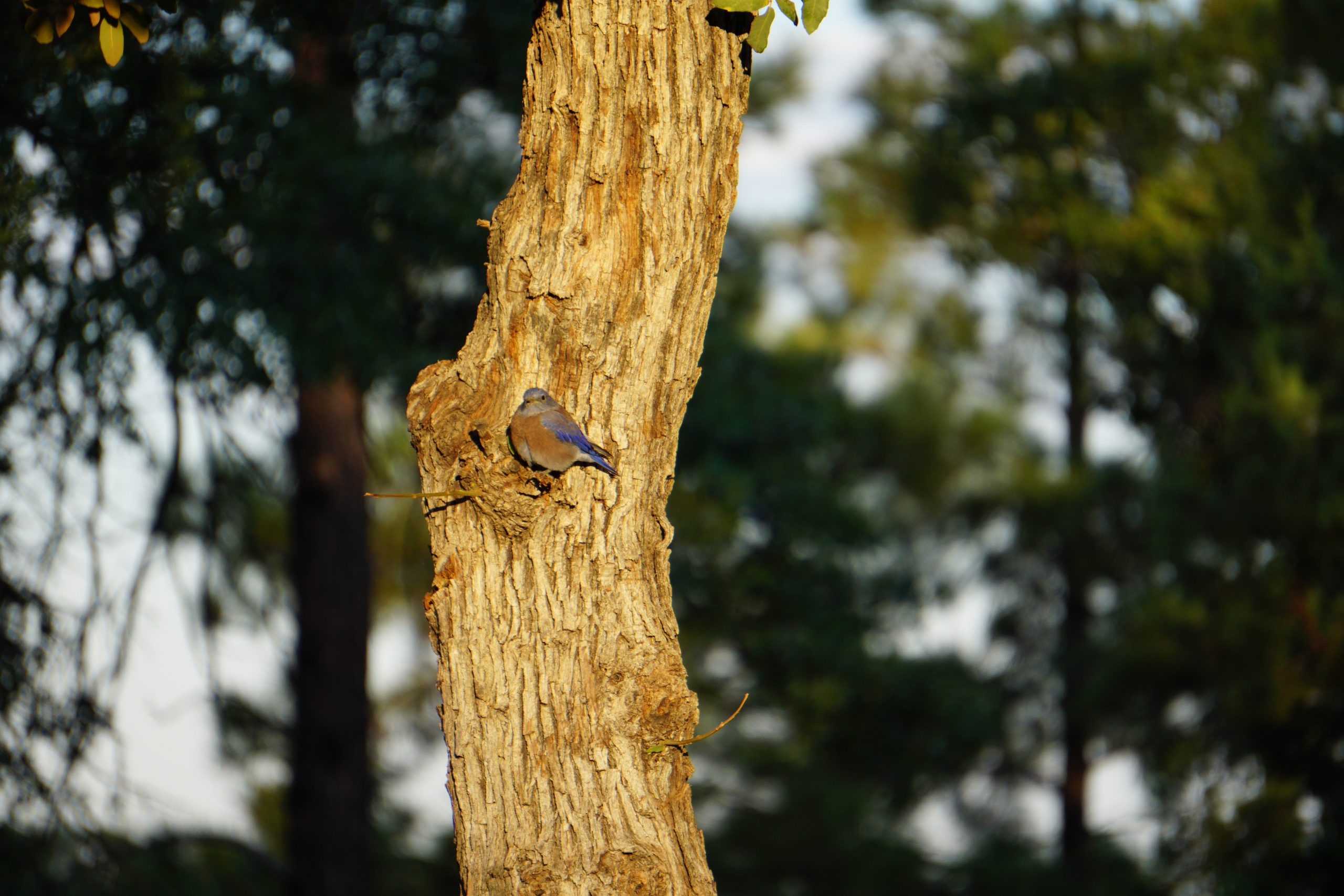
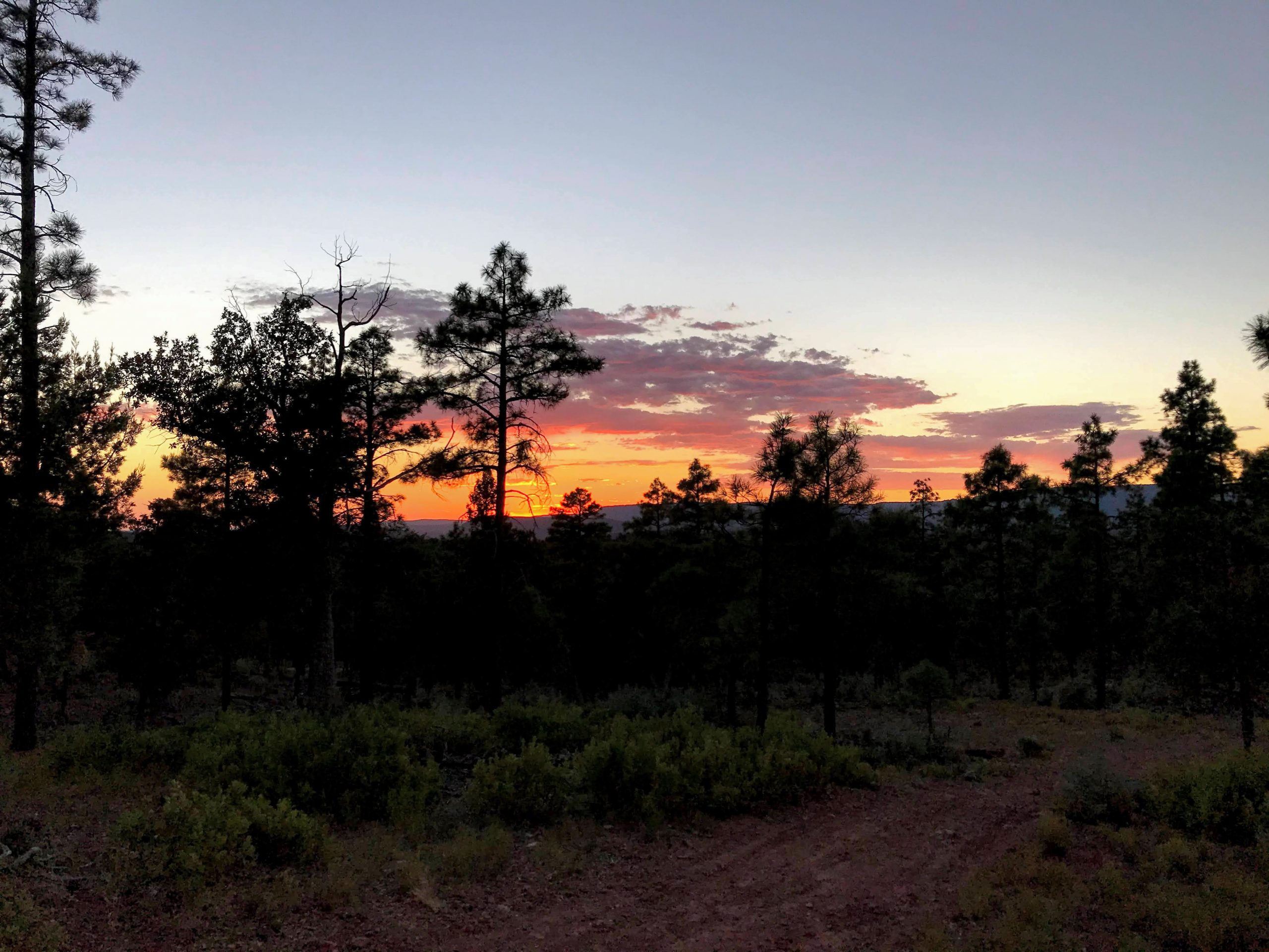
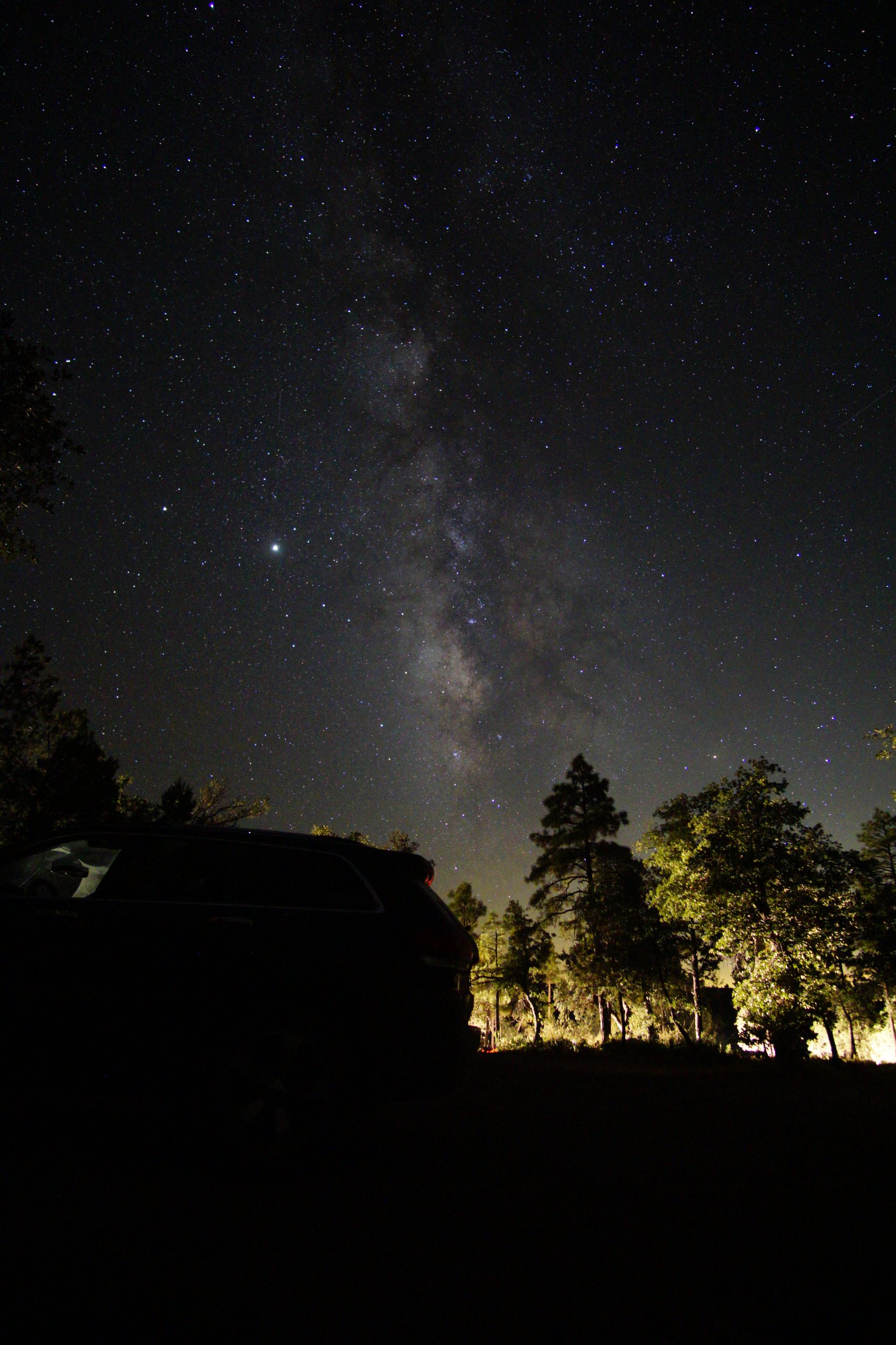
There was a great sunset (check out the photos), we took Milky Way astro shots and took photos of cute birds in our campsite the next morning.
This site was not as private but the views made up for this. Overall, we scored another great site and had a fantastic time dispersed camping on Fire Control Road.
If you are thinking about checking out this area, do it! It is definitely worth it!
Our Gear & How We Get Around
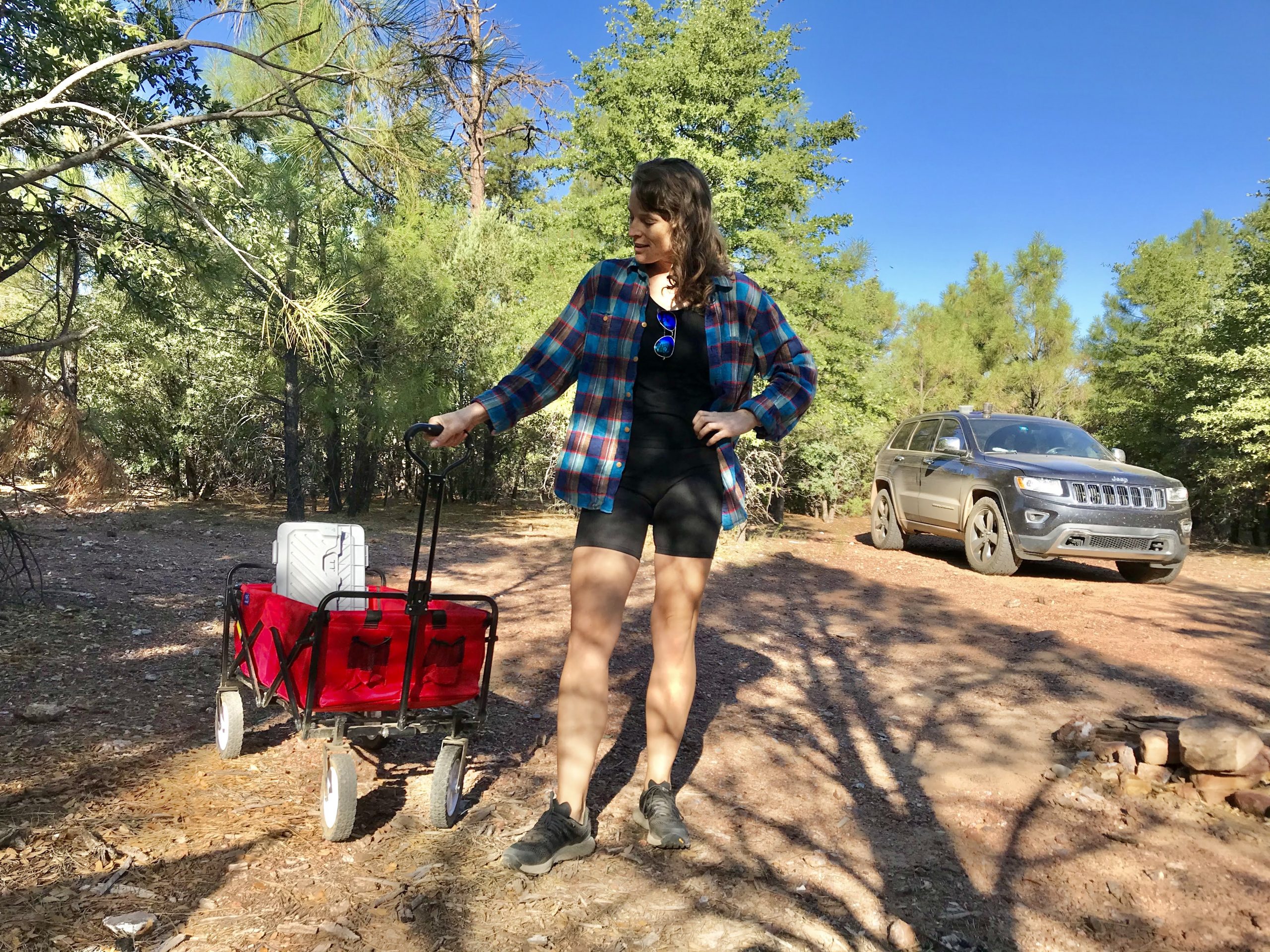
We are car campers and use a really sweet homemade mesh tent. Check out this post on why you should camp with a mesh tent. No fancy RVs or trailers for us (yet!). Although many of the sites along Fire Control Road are large and will accommodate larger vehicles. We saw RVs and campers of all sizes along the road.
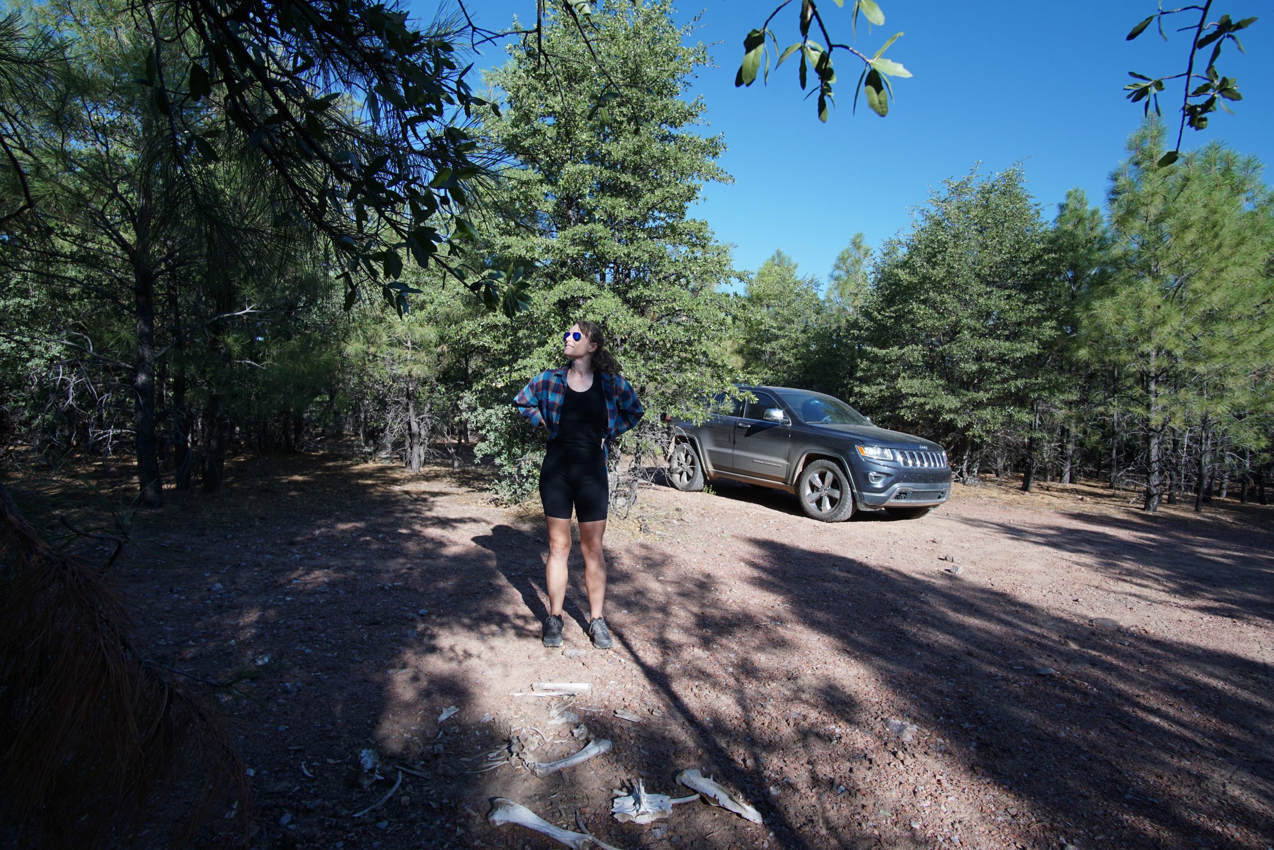
Our car is a 2015 Jeep Grand Cherokee Limited 4×4 edition. It has 9.3 inches of ground clearance and moderate all-terrain tires (no air suspension or any extra ground clearance). We explored a few little (very bumpy) side roads. They were slow going but didn’t require 4WD.